The Historic Landscape Character Areas (HLCAs)
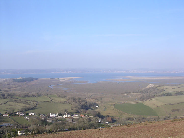
HLCA001 Llanrhidian Sands and the Lougher Estuary
Intertidal landscape: buried landscapes; exploitation of the marine environment; transportation and maritime features. Back to Map
Click here for further information about this Historic Landscape Character Area
Click here for a character area map
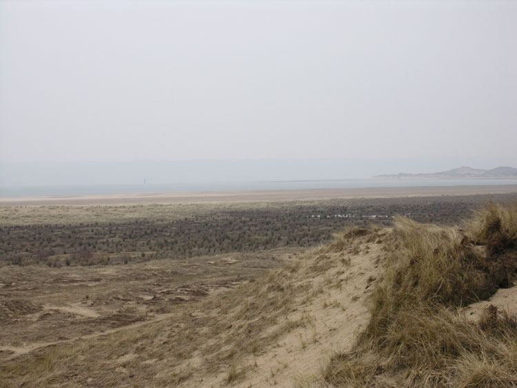
HLCA002 Broughton Bay and Whiteford Sands
Intertidal landscape: buried landscapes; exploitation of the marine environment; transportation and maritime features; historic associations; events. Back to Map
Click here for further information about this Historic Landscape Character Area
Click here for a character area map
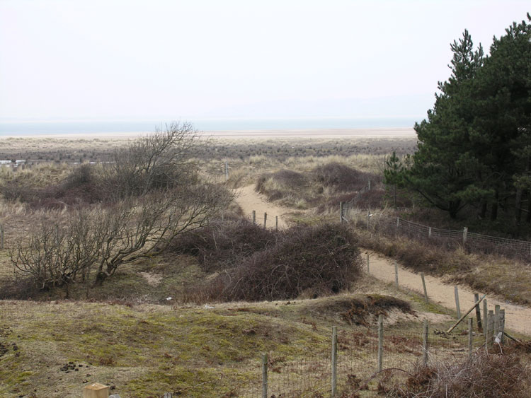
HLCA003 Whiteford Burrows
Besanded landscape: buried former landscapes and evidence of activity primarily during the medieval period and WWII. Back to Map
Click here for further information about this Historic Landscape Character Area
Click here for a character area map
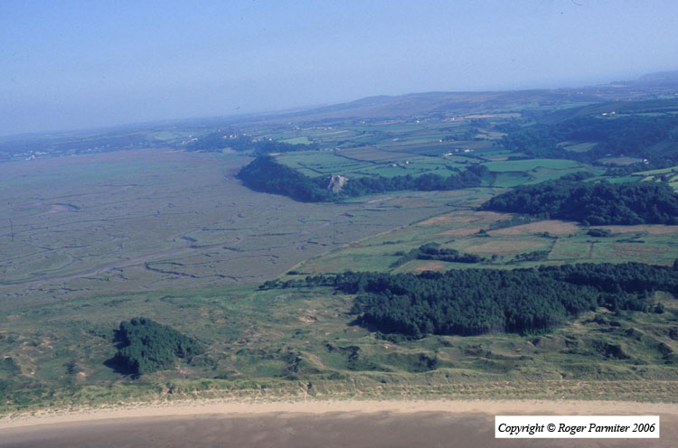
HLCA004 Llanrhidian and Landimore Salt Marsh
Intertidal wetland landscape: buried landscapes; wetland resources; exploitation of the marine environment; transportation; maritime and water features. Back to Map
Click here for further information about this Historic Landscape Character Area
Click here for a character area map
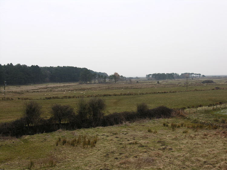
HLCA005 Cwm Ivy Marsh
Enclosed reclaimed wetland landscape: relict agricultural and water management features. Back to Map
Click here for further information about this Historic Landscape Character Area
Click here for a character area map
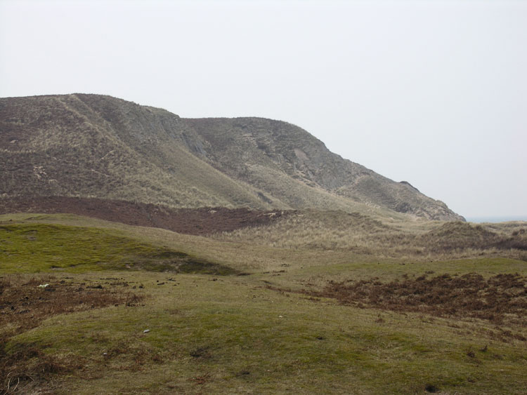
HLCA006 Burry Holms and the Tors
Unenclosed coastal margin: prehistoric finds; multi-period settlement; ritual features; ecclesiastical settlement; post-medieval industrial features. Back to Map
Click here for further information about this Historic Landscape Character Area
Click here for a character area map
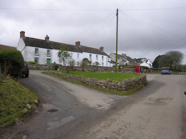
HLCA007 Llanmadoc
Post-medieval/medieval agricultural and settlement landscape: organic settlement centred on medieval church; early medieval ecclesiastic centre; ribbon development and clustered settlement; varied fieldscape; dispersed farmsteads; post-medieval vernacular buildings and features; agri-industrial features; scattered finds; historic associations. Back to Map
Click here for further information about this Historic Landscape Character Area
Click here for a character area map
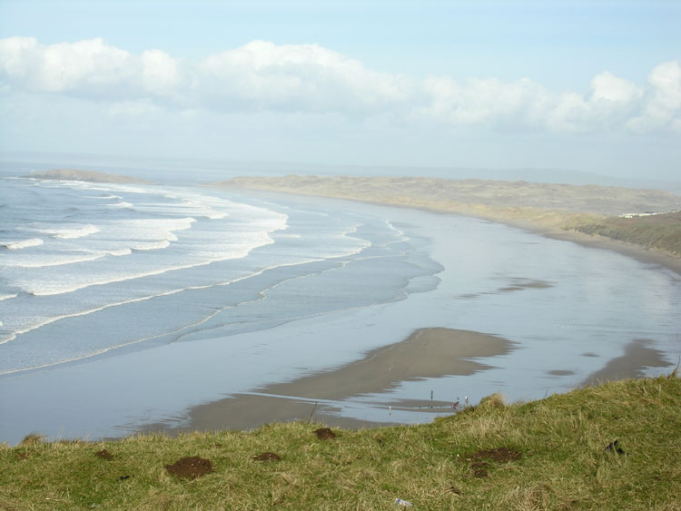
HLCA008 Rhossili Bay
Intertidal landscape: open beach; buried landscapes; maritime features; historic associations; events, folklore and legends. Back to Map
Click here for further information about this Historic Landscape Character Area
Click here for a character area map
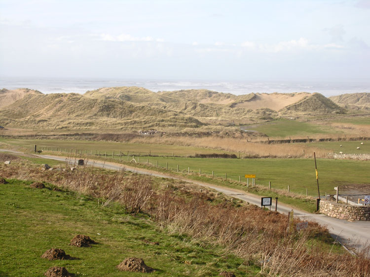
HLCA009 Llangennith, Broughton and Hillend Burrows
Besanded landscape: prehistoric finds and settlement; post-medieval industrial activity. Back to Map
Click here for further information about this Historic Landscape Character Area
Click here for a character area map
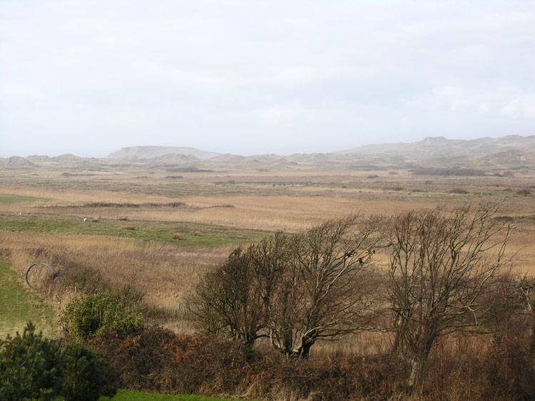
HLCA010 Llangennith Moor
Enclosed reclaimed wetland: relict post-medieval agricultural and water management features. Back to Map
Click here for further information about this Historic Landscape Character Area
Click here for a character area map
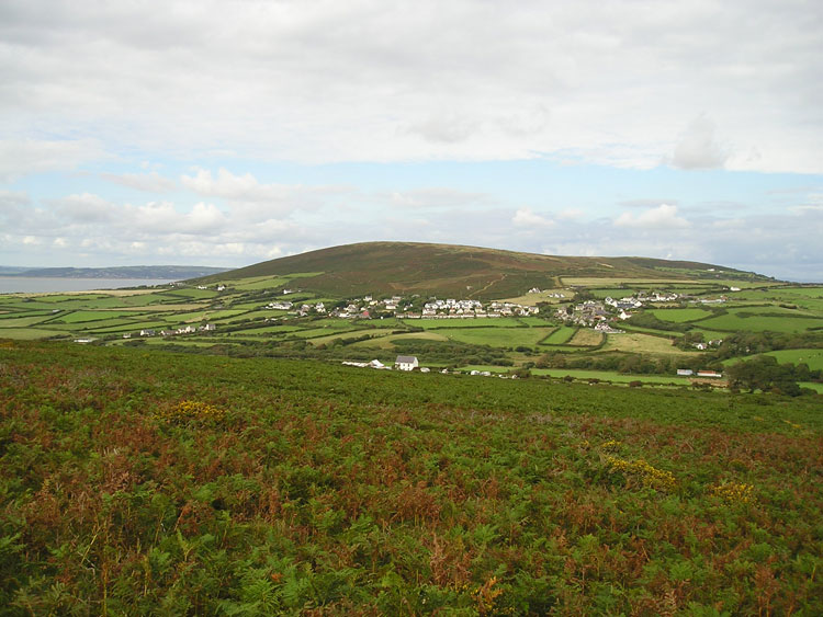
HLCA011 Llangennith
Post-medieval/medieval settlement and agricultural landscape: varied fieldscape; post-medieval vernacular buildings; ecclesiastical centre; medieval priory; scattered prehistoric features; rural industry; historic associations. Back to Map
Click here for further information about this Historic Landscape Character Area
Click here for a character area map
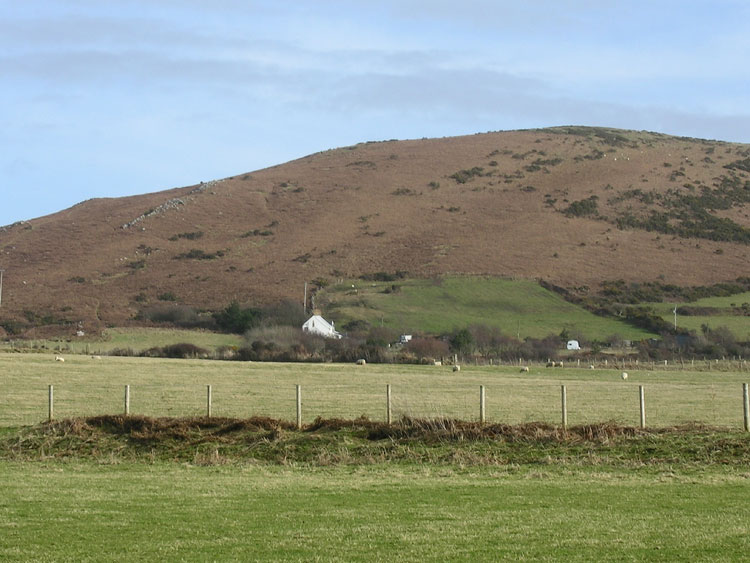
HLCA012 Llanmadoc Hill
Unenclosed common land: prehistoric funerary and ritual landscape; major defended enclosure; water related features. Back to Map
Click here for further information about this Historic Landscape Character Area
Click here for a character area map
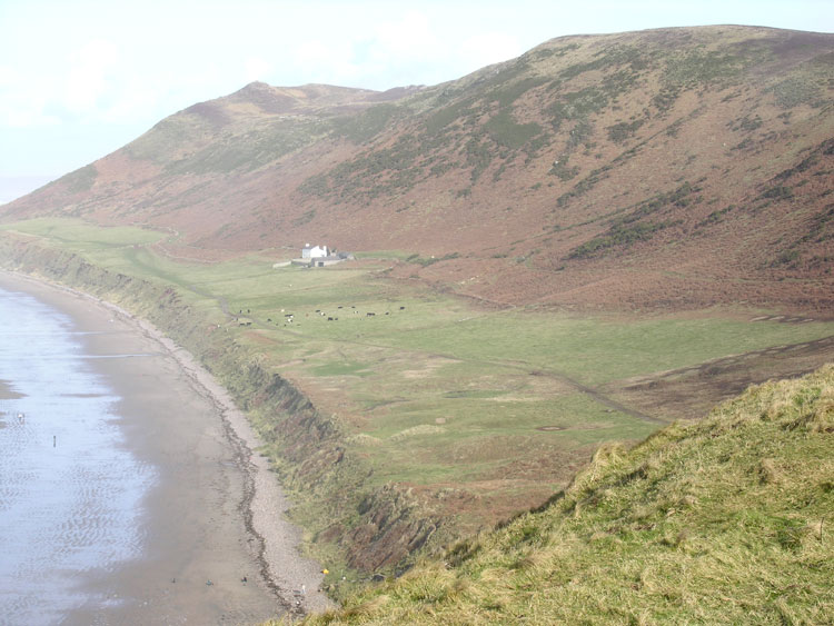
HLCA013 Lower Rhossili Enclosed Coastal Strip
Enclosed coastal margin and besanded landscape: relict archaeology; medieval settlement; and post-medieval fieldscape. Back to Map
Click here for further information about this Historic Landscape Character Area
Click here for a character area map
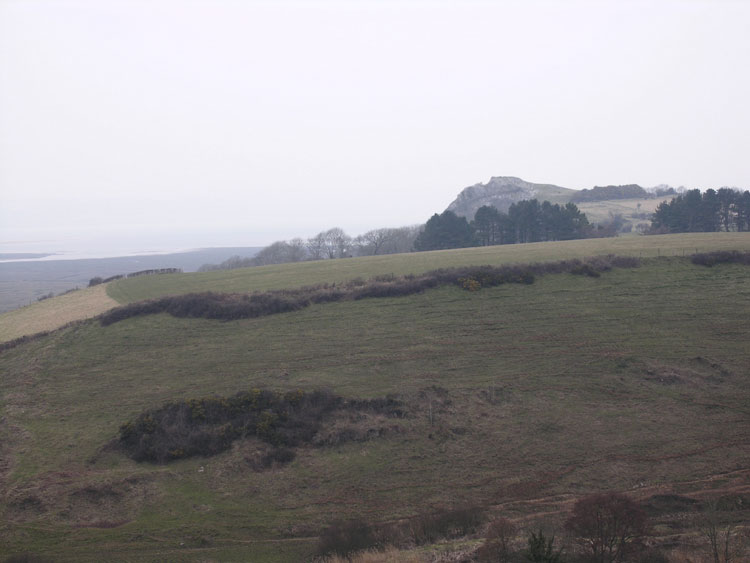
HLCA014 Tor-gro and North Hill Tor
Coastal margin and wooded cliff top: multi-period associations; prehistoric finds; defensive settlements; agri-industrial activities; links to surrounding areas. Back to Map
Click here for further information about this Historic Landscape Character Area
Click here for a character area map
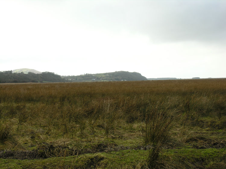
HLCA015 Landimore and Llanrhidian Reclaimed Land
Reclaimed wetland landscape: regular enclosure and agricultural features; drainage channels and water features. Back to Map
Click here for further information about this Historic Landscape Character Area
Click here for a character area map
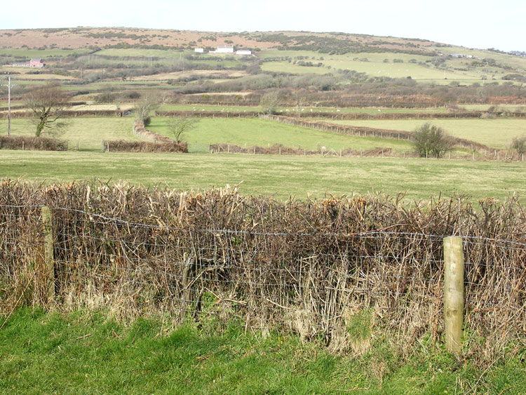
HLCA016 Kennexstone and Tankeylake
Post-medieval/medieval agricultural landscape: varied/irregular fieldscape; relict medieval strip fields and traditional boundaries; medieval/post-medieval agricultural settlement; post-medieval farmsteads. Back to Map
Click here for further information about this Historic Landscape Character Area
Click here for a character area map
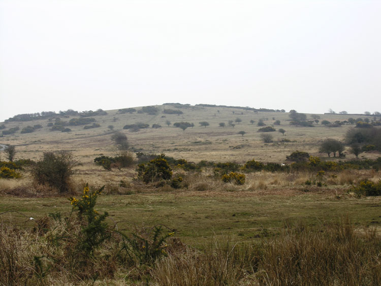
HLCA017 Ryer's Down
Unenclosed common land: relict medieval/post-medieval settlement and agricultural features; water supply features; communication network. Back to Map
Click here for further information about this Historic Landscape Character Area
Click here for a character area map
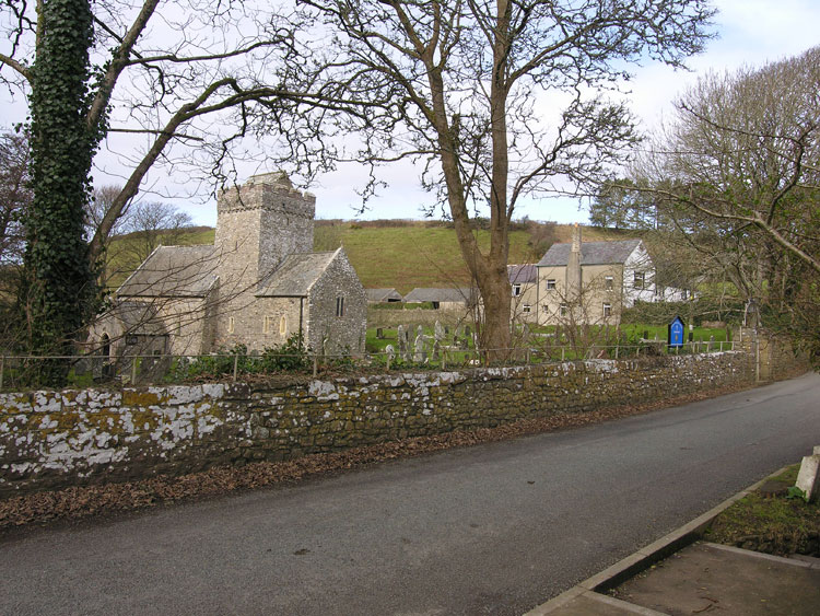
HLCA018 Cheriton and Burry Pill
River valley landscape: ancient woodland; irregular evolved enclosure and dispersed post-medieval farmsteads; agricultural industrial landscape with medieval origins: mills; medieval ecclesiastic and later parochial centre; communication networks. Back to Map
Click here for further information about this Historic Landscape Character Area
Click here for a character area map
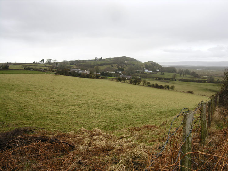
HLCA019 Bovehill and Landimore
Post-medieval/medieval settlement and agricultural landscape and former manorial centre: largely regular fieldscape; ribbon and clustered settlement pattern; relict and buried archaeological features; traditional boundaries; post-medieval regional vernacular buildings; historic associations. Back to Map
Click here for further information about this Historic Landscape Character Area
Click here for a character area map
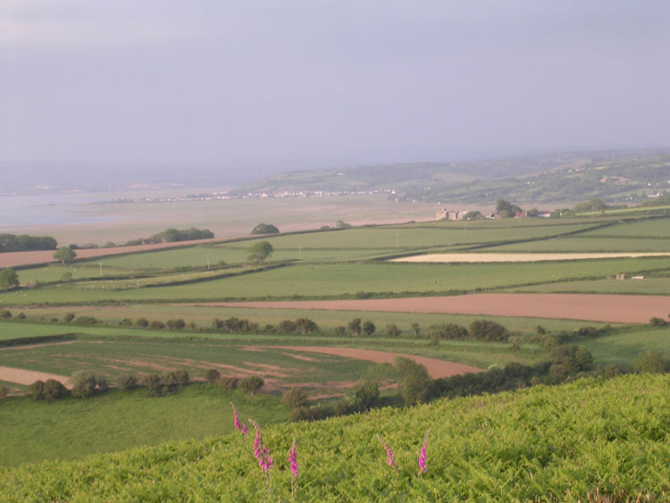
HLCA020 Weobley, Leason and Llwn-y-bwch
Post-medieval/medieval agricultural landscape and former manorial centre: post-medieval cluster and ribbon settlement; post-medieval agricultural features; traditional field boundaries; historic associations; post-medieval rural industry; prehistoric ritual and settlement evidence. Back to Map
Click here for further information about this Historic Landscape Character Area
Click here for a character area map
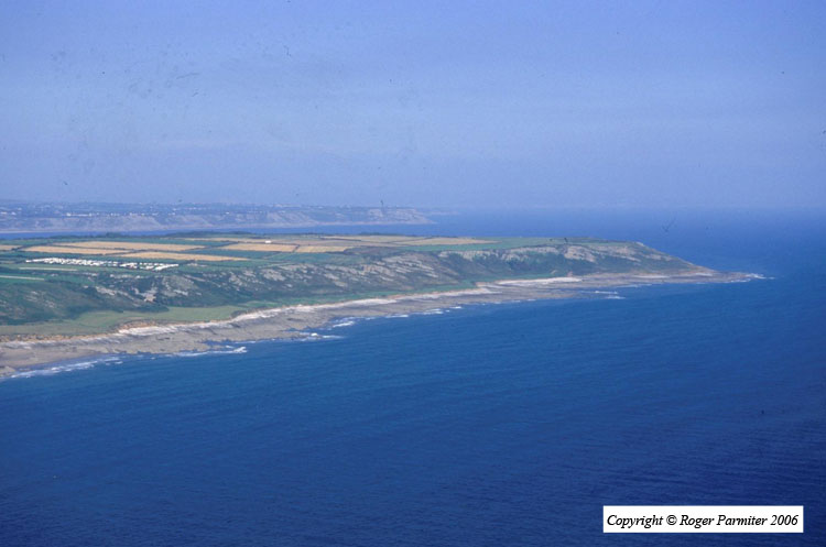
HLCA021 Oxwich Cliffs
Intertidal landscape: rocky foreshore of cliffs and caves; and shipwrecks. Back to Map
Click here for further information about this Historic Landscape Character Area
Click here for a character area map
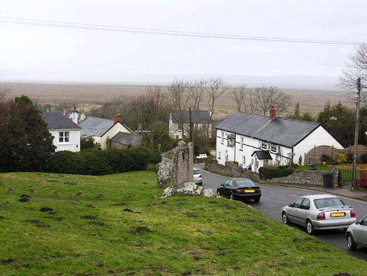
HLCA022 Llanrhidian
Post-medieval/medieval settlement and agricultural landscape: nucleated settlement; early medieval/medieval ecclesiastic and later parochial centre; post-medieval fieldscape with medieval stripfields; traditional boundaries; dispersed post-medieval farmsteads and cottages; rural industry. Back to Map
Click here for further information about this Historic Landscape Character Area
Click here for a character area map
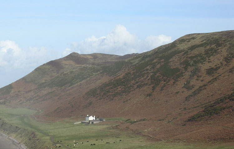
HLCA023 Rhossili Down
Unenclosed common land: prehistoric funerary and ritual landscape and settlement features; livestock management features; and water related features. Back to Map
Click here for further information about this Historic Landscape Character Area
Click here for a character area map
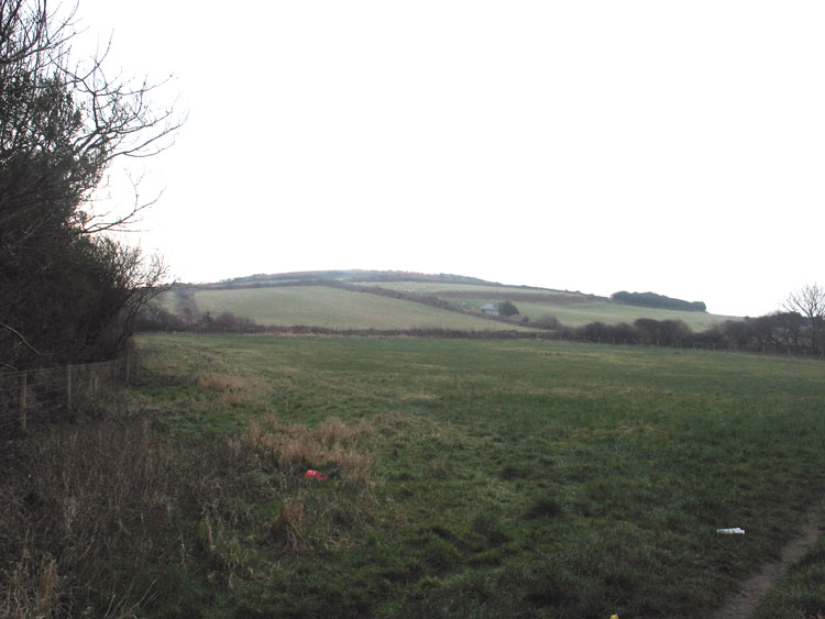
HLCA024 Thistleboon Fieldscape
Post-medieval/ medieval agricultural landscape: prehistoric finds; leisure and tourism. Back to Map
Click here for further information about this Historic Landscape Character Area
Click here for a character area map
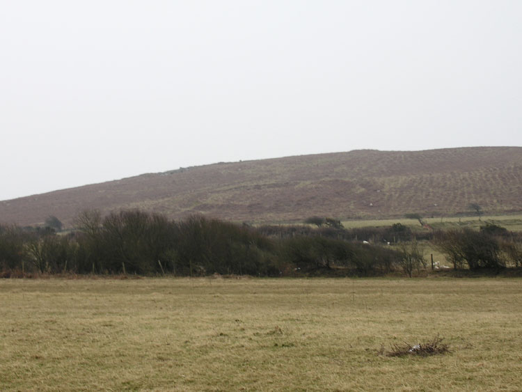
HLCA025 Hardings Down
Unenclosed common land: prehistoric defended enclosures and settlement features; routeways; and prehistoric ritual/funerary monuments. Back to Map
Click here for further information about this Historic Landscape Character Area
Click here for a character area map
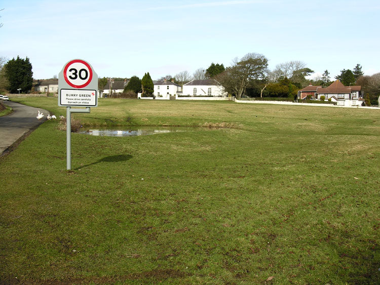
HLCA026 Burry
Post-medieval/medieval agricultural and settlement landscape: irregular enclosure pattern; post-medieval ribbon settlement; scattered farmsteads; milling; and non-conformist associations. Back to Map
Click here for further information about this Historic Landscape Character Area
Click here for a character area map
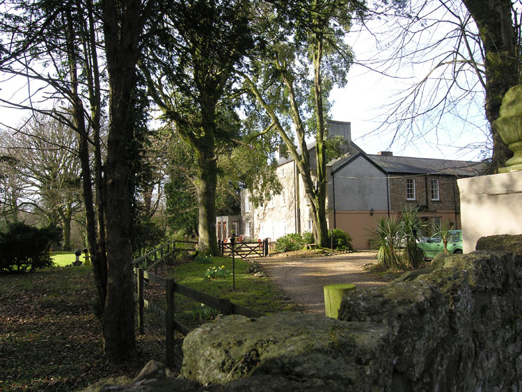
HLCA027 Fairyhill
Post-medieval gentry estate and parkland landscape: eighteenth century house and park; agricultural and water related features; and historic associations. Back to Map
Click here for further information about this Historic Landscape Character Area
Click here for a character area map
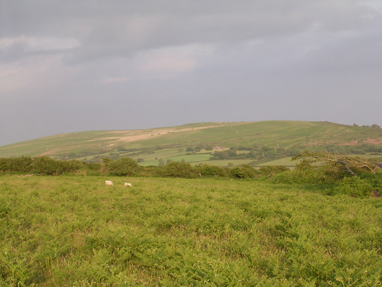
HLCA028 Hillend
Post-medieval/medieval agricultural landscape: varied fieldscape superimposed over earlier field pattern; traditional boundaries; dispersed post-medieval settlement and related features. Back to Map
Click here for further information about this Historic Landscape Character Area
Click here for a character area map
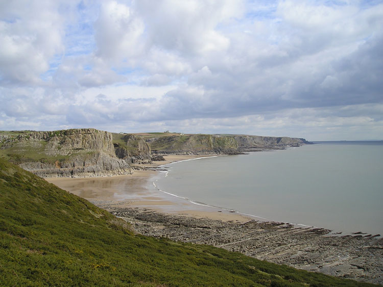
HLCA029 Worm's Head and South West Gower Cliffs
Intertidal zone, unenclosed coastal margin and cliff edge landscape: caves; prehistoric settlement and finds; maritime features; agri-industrial processing; historic associations; tales and legends; and livestock management. Back to Map
Click here for further information about this Historic Landscape Character Area
Click here for a character area map
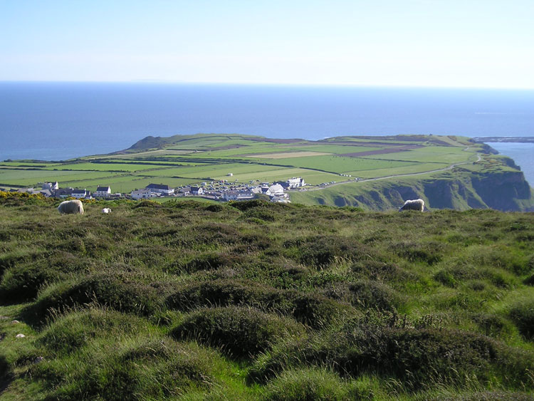
HLCA030 The Vile
Medieval/post-medieval agricultural landscape: relict medieval open field system; traditional enclosure boundaries; footpaths and tracks. Back to Map
Click here for further information about this Historic Landscape Character Area
Click here for a character area map
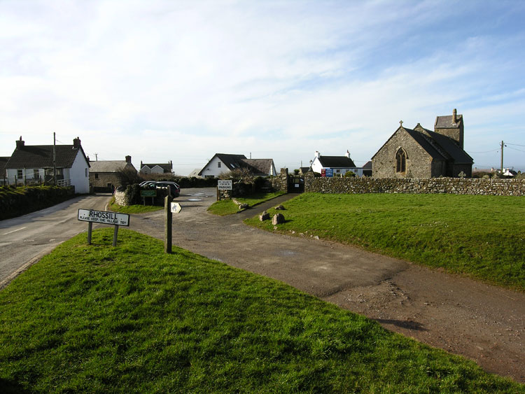
HLCA031 Rhossili and Middleton
Post-medieval/medieval settlement and agricultural landscape: nucleated organic settlement with later ribbon development; varied fieldscape; medieval strip fields; traditional boundaries; ecclesiastical centre; post-medieval vernacular buildings; rural and processing industrial features; and historic associations. Back to Map
Click here for further information about this Historic Landscape Character Area
Click here for a character area map
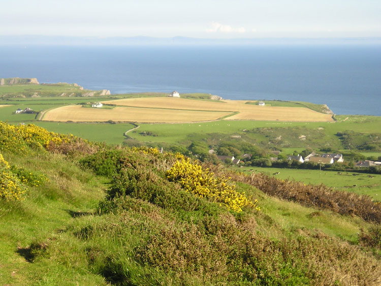
HLCA032 Pitton and Pilton
Post-medieval/medieval agricultural landscape and manorial centres: varied enclosure pattern; traditional boundaries and green lanes; small clustered and dispersed settlement; post-medieval farms with medieval precursors; prehistoric find scatters; rural industrial processing features. Back to Map
Click here for further information about this Historic Landscape Character Area
Click here for a character area map
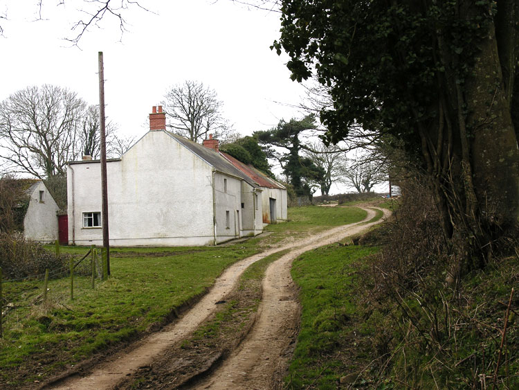
HLCA033 Henllys
Post-medieval/medieval agricultural landscape and manorial centre: evolved irregular fieldscape with medieval strip fields; traditional boundaries; medieval and post-medieval settlement and agricultural features; loosely dispersed settlement; interesting post-medieval buildings (farmsteads) with a possible medieval precursor; possible early medieval associations (Llys site). Back to Map
Click here for further information about this Historic Landscape Character Area
Click here for a character area map
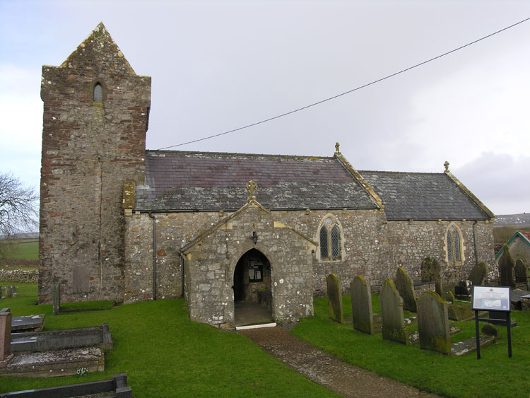
HLCA034 Llanddewi
Post-medieval/medieval agricultural landscape and medieval ecclesiastic manor: evolved semi-regular fieldscape; traditional boundaries; ecclesiastic and early medieval associations; post-medieval settlement and agricultural features; deserted medieval settlement; and agri-industrial features. Back to Map
Click here for further information about this Historic Landscape Character Area
Click here for a character area map
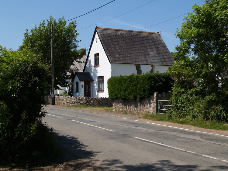
HLCA035 Knelston Manor
Post-medieval/medieval agricultural and settlement landscape and manorial centre: evolved semi-regular fieldscape; distinctive boundaries; medieval ecclesiastic associations; post-medieval ribbon settlement and agricultural features; agri-industrial features; prehistoric funerary/ritual features; and communication routes. Back to Map
Click here for further information about this Historic Landscape Character Area
Click here for a character area map
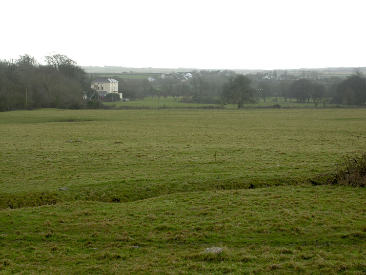
HLCA036 Stouthall
Post-medieval gentry estate and parkland: park and ornamental woodland; historic associations former estate of the Lucas family; relict agri-cultural features and trackways. Back to Map
Click here for further information about this Historic Landscape Character Area
Click here for a character area map
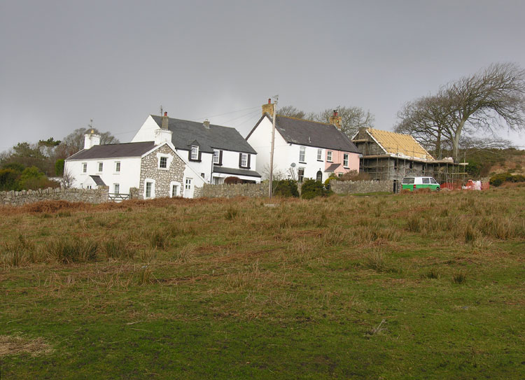
HLCA037 Reynoldston
Post-medieval/medieval settlement and agricultural landscape and manorial centre: former medieval settlement; varied feldscape; organic settlement core; dispersed farmsteads; medieval church; prehistoric domestic defensive features; remnant woodland; and historic associations.Back to Map
Click here for further information about this Historic Landscape Character Area
Click here for a character area map
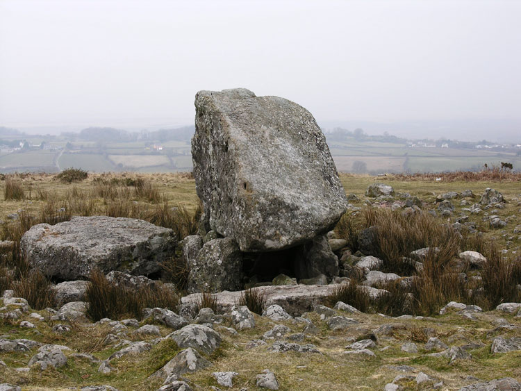
HLCA038 Cefn Bryn Common
Unenclosed common land: prehistoric, funerary and ritual landscape; possible prehistoric occupation; routeways and trackways; historic association; water supply; minor industrial and agricultural features. Back to Map
Click here for further information about this Historic Landscape Character Area
Click here for a character area map
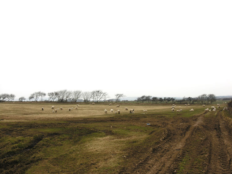
HLCA039 Newton
Largely post-medieval agricultural landscape: varied fieldscape and dispersed post-medieval settlement; buried prehistoric and medieval archaeology, including a scheduled ritual site. Back to Map
Click here for further information about this Historic Landscape Character Area
Click here for a character area map
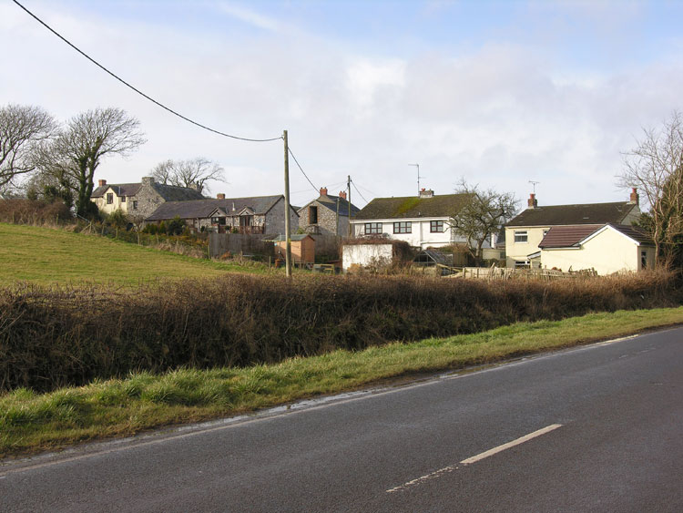
HLCA040 Scurlage and Berry
Post-medieval/medieval agricultural landscape and former manorial centres (Scurlage Castle - secular; Berry - monastic): post-medieval semi-regular fieldscape; shrunken medieval/post-medieval clustered settlement of Scurlage Castle and linear settlement of Berry; relict and buried archaeology; limestone extraction and processing. Back to Map
Click here for further information about this Historic Landscape Character Area
Click here for a character area map
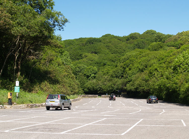
HLCA041 Bishop's Wood
Wooded river valley landscape: ancient woodland and scrub; and post-medieval agri- industrial activity. Back to Map
Click here for further information about this Historic Landscape Character Area
Click here for a character area map
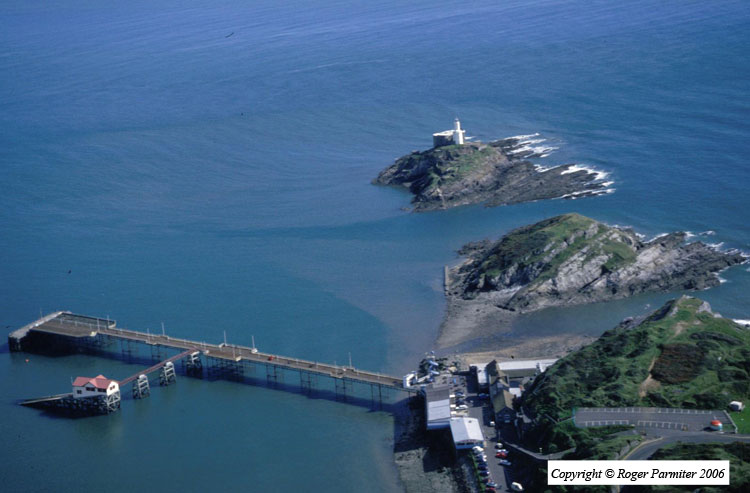
HLCA042 Mumbles Head and Rotherslade
Intertidal zone and unenclosed coastal margin: coastal and maritime features; quarrying, defensive sites; buried archaeology; tourism. Back to Map
Click here for further information about this Historic Landscape Character Area
Click here for a character area map
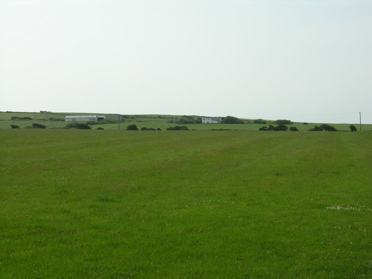
HLCA043 Paviland and Monksland
Largely post-medieval agricultural landscape and former monastic grange land: varied enclosure; medieval settlement with associated fieldscape; ecclesiastic associations and agri-industrial features. Back to Map
Click here for further information about this Historic Landscape Character Area
Click here for a character area map
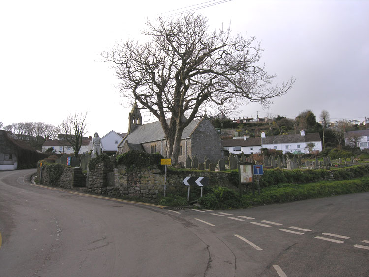
HLCA044 Port Eynon
Post-medieval/medieval settlement and agricultural landscape and manorial centre: varied fieldscape; nucleated organic settlement and loose dispersed scatter; post-medieval vernacular buildings; buried archaeology; coastal and maritime features; rural industry - extraction processing and rural crafts. Back to Map
Click here for further information about this Historic Landscape Character Area
Click here for a character area map
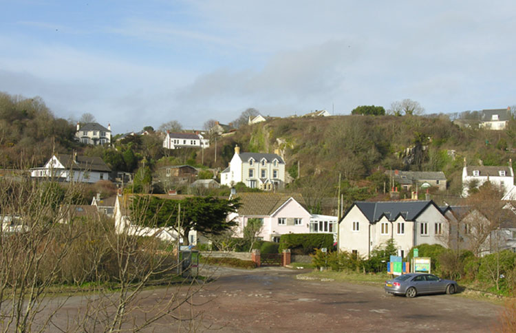
HLCA045 Horton
Post-medieval/medieval settlement and agricultural landscape and sub-manorial centre: varied fieldscape; organically clustered hamlet; post-medieval vernacular buildings; rural industry - extraction processing and rural crafts; and buried archaeology. Back to Map
Click here for further information about this Historic Landscape Character Area
Click here for a character area map
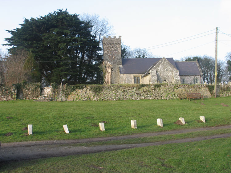
HLCA046 Penrice
Medieval/post-medieval settlement and agricultural landscape and former manorial centre: small well-preserved nucleated settlement; dispersed farmsteads, varied fieldscape; woodland and plantation; relict archaeology; and rural industry: principally milling. Back to Map
Click here for further information about this Historic Landscape Character Area
Click here for a character area map
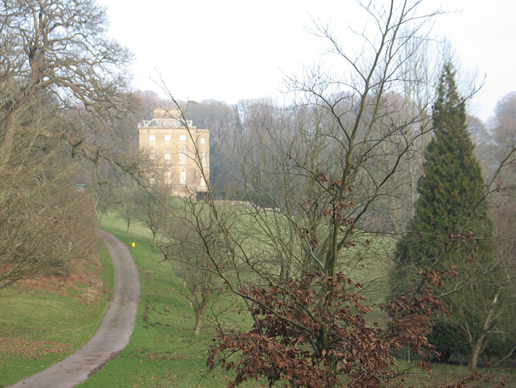
HLCA047 Penrice Park
Medieval manorial centre, administrative and defensive landscape and post-medieval gentry estate: medieval castle; post-medieval gentry house within contemporary parkland setting; post-medieval farmsteads and agricultural buildings. Back to Map
Click here for further information about this Historic Landscape Character Area
Click here for a character area map
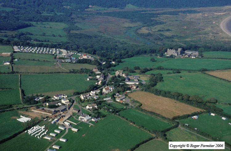
HLCA048 Oxwich
Medieval and post-medieval agricultural landscape and former manorial centre: varied settlement pattern (shrunken medieval settlements); post-medieval vernacular buildings; varied fieldscape; traditional boundaries; relict multi-period defensive structures; unimproved cliff edge; woodland; and rural industry. Back to Map
Click here for further information about this Historic Landscape Character Area
Click here for a character area map
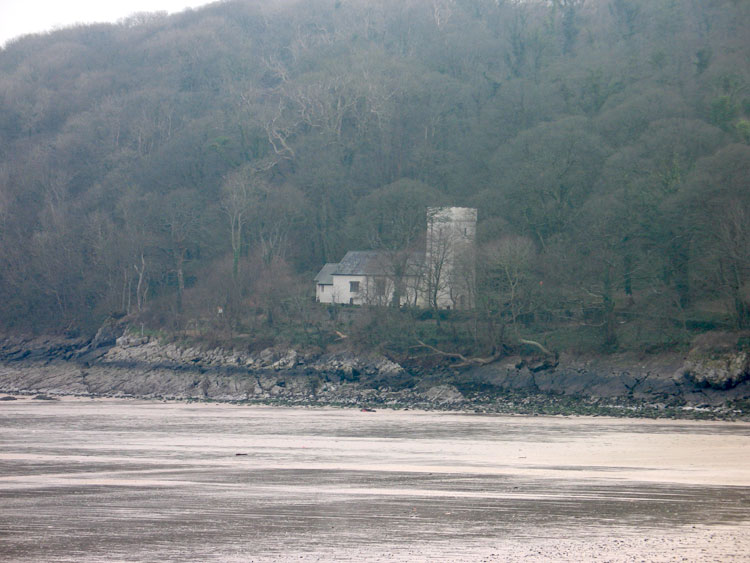
HLCA049 Oxwich Bay Wooded Cliff Top
Wooded cliff top margin: ancient woodland; prehistoric domestic defensive; and post-medieval agri- industrial activity. Back to Map
Click here for further information about this Historic Landscape Character Area
Click here for a character area map
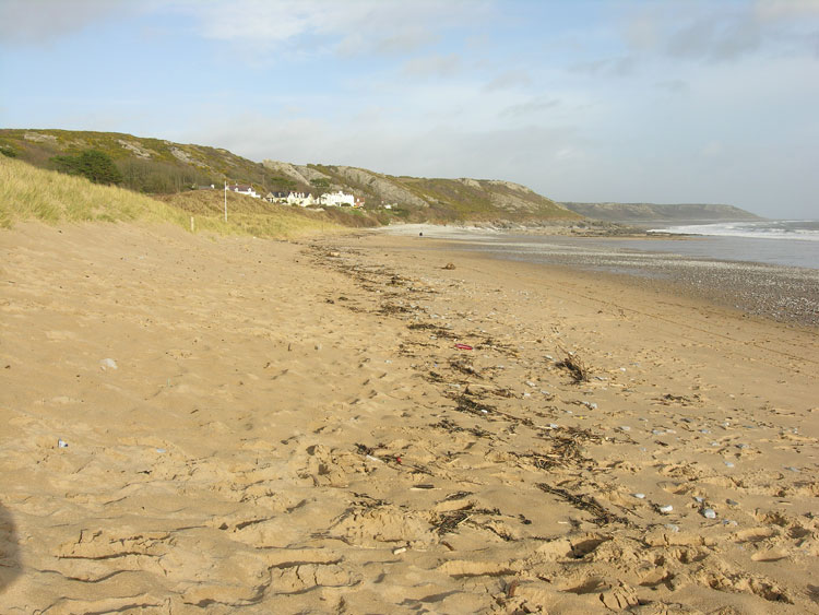
HLCA050 Port Eynon Bay Sands
Intertidal landscape: beach and shingle; sand dunes; prehistoric and Roman findspots; marine exploitation; trade and transportation; and shipwrecks. Back to Map
Click here for further information about this Historic Landscape Character Area
Click here for a character area map
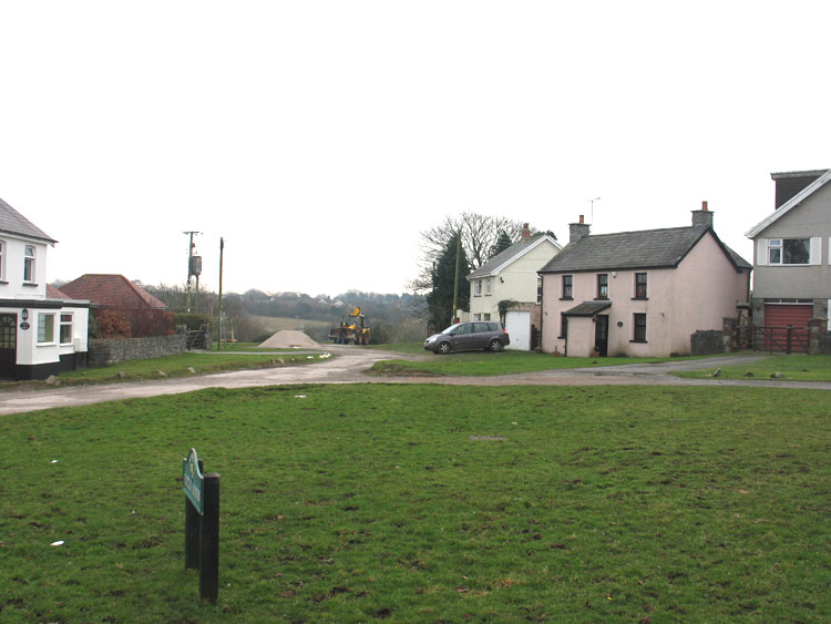
HLCA051 Kittle
Largely post-medieval agricultural landscape and former manorial centre: dispersed farmsteads and small clustered settlement; agri-industrial features; communication routes; woodland; and findspots. Back to Map
Click here for further information about this Historic Landscape Character Area
Click here for a character area map
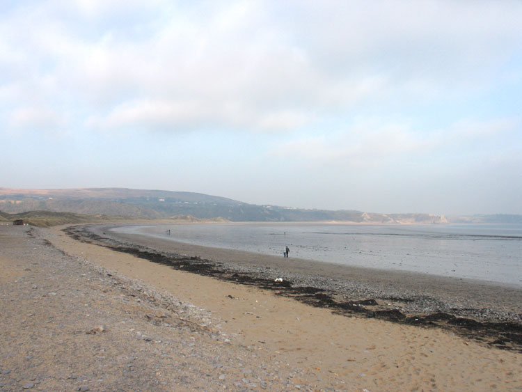
HLCA052 Oxwich Bay and Three Cliffs Bay Intertidal Zone
Intertidal landscape: sandy beach; Roman and medieval finds; marine exploitation; trade and transportation; and shipwrecks. Back to Map
Click here for further information about this Historic Landscape Character Area
Click here for a character area map
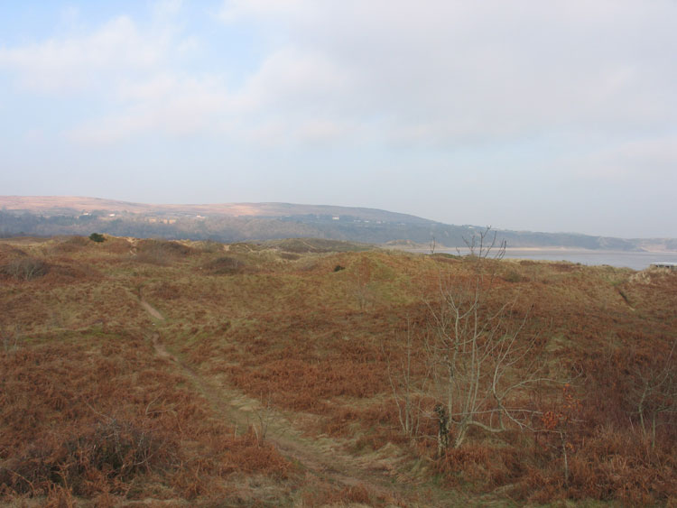
HLCA053 Oxwich and Nicholaston Burrows
Besanded landscape: buried archaeology; medieval field boundaries; and intertidal features, mostly post-medieval. Back to Map
Click here for further information about this Historic Landscape Character Area
Click here for a character area map
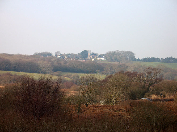
HLCA054 Oxwich Marsh
Former reclaimed wetland landscape: enclosure of salt marsh; relict agricultural and water management features. Back to Map
Click here for further information about this Historic Landscape Character Area
Click here for a character area map
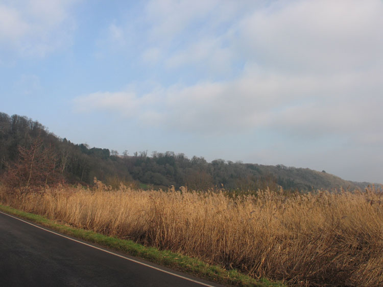
HLCA055 Nicholaston Woods
Wooded cliff landscape: ancient woodland; prehistoric domestic defensive settlement; post-medieval agri-industrial activity; possible medieval associations; and tracks/footpaths.Back to Map
Click here for further information about this Historic Landscape Character Area
Click here for a character area map
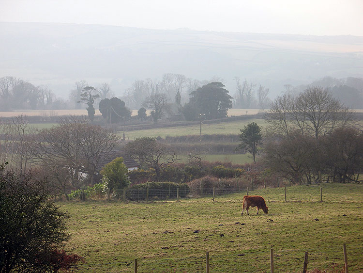
HLCA056 Nicholaston
Medieval/post-medieval agricultural and settlement landscape and manorial centre: clustered settlement; and dispersed farmsteads; isolated late medieval church and manor house; varied fieldscape; and agri- industrial extractive features. Back to Map
Click here for further information about this Historic Landscape Character Area
Click here for a character area map
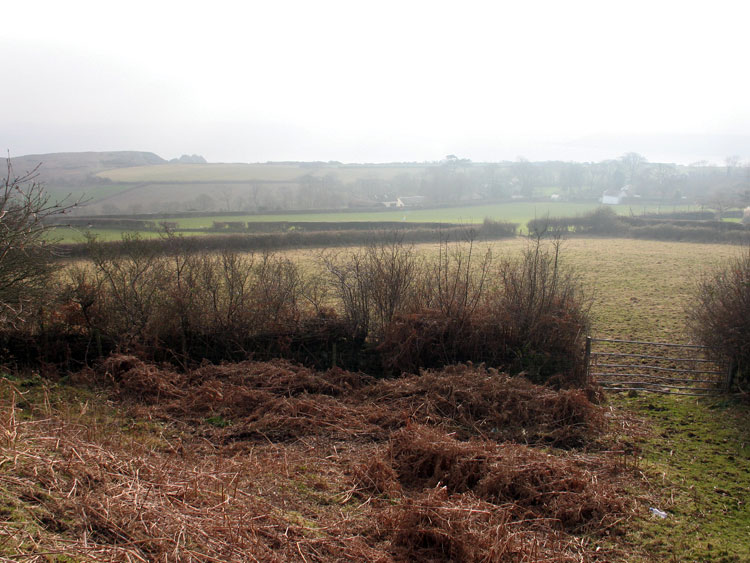
HLCA057 Penmaen
Largely post-medieval agricultural landscape and manorial centre: ribbon development and scattered farmsteads; medieval ecclesiastical sites; agri-industrial features; and scrub and woodland. Back to Map
Click here for further information about this Historic Landscape Character Area
Click here for a character area map
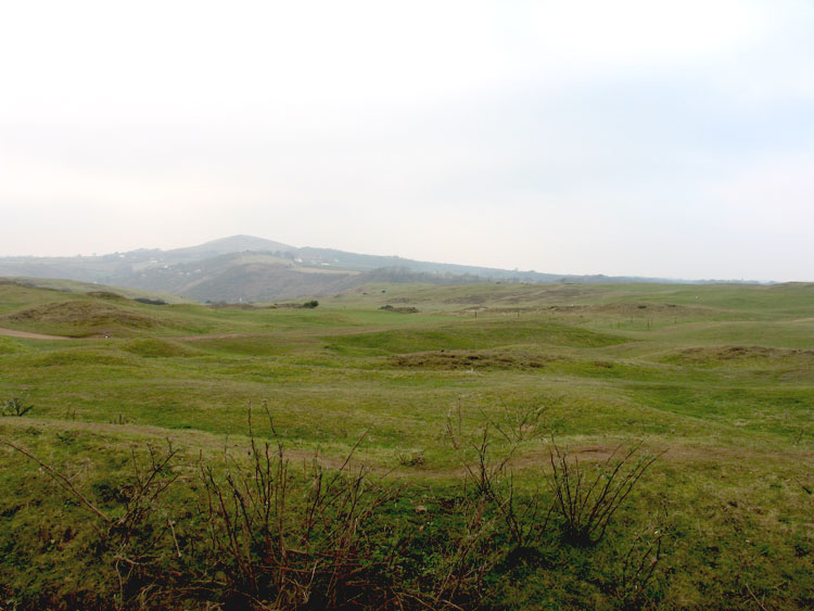
HLCA058 Penmaen and Pennard Burrows
Besanded landscape: multi-period relict/buried archaeology; prehistoric funerary ritual features; relict medieval settlement; and agri-industrial features. Back to Map
Click here for further information about this Historic Landscape Character Area
Click here for a character area map
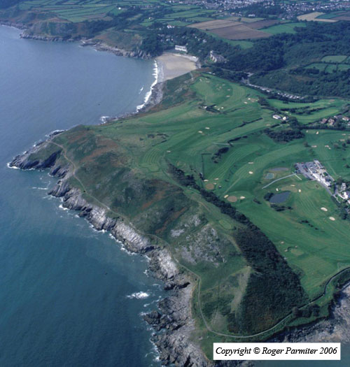
HLCA059 Langland Bay Golf Course
Remodelled and designed former agricultural landscape: tourism and leisure; former agri-industrial features. Back to Map
Click here for further information about this Historic Landscape Character Area
Click here for a character area map
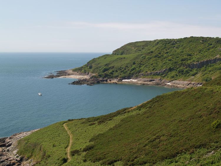
HLCA060 Pwlldu Head
Intertidal zone and unenclosed coastal cliff margin landscape: prehistoric settlement and defensive sites; caves; multi-period finds and ecofacts; agri-industrial processing; historic, largely maritime associations; and livestock management features. Back to Map
Click here for further information about this Historic Landscape Character Area
Click here for a character area map
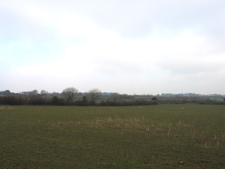
HLCA061 Pennard
Well-preserved post-medieval/medieval agricultural landscape: fossilised medieval/early post-medieval strip fields; dispersed post-medieval agricultural settlement; post-medieval farmsteads/cottage; post-medieval agri- industrial features; isolated medieval church and early ecclesiastical associations. Back to Map
Click here for further information about this Historic Landscape Character Area
Click here for a character area map
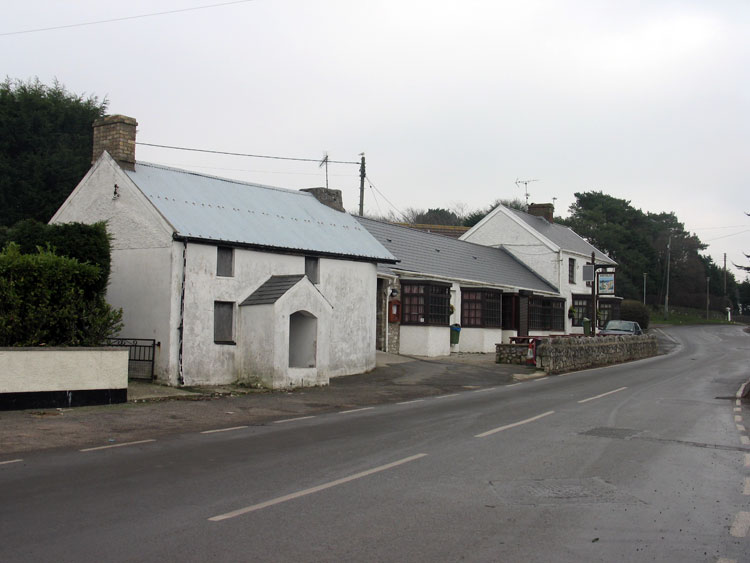
HLCA062 Southgate
Post-medieval agricultural settlement, and later twentieth century settlement landscape: dispersed farmsteads/cottages now dominated by 20th century ribbon development and estate infilling, post-medieval vernacular architecture; and twentieth century coastal type housing including villas. Back to Map
Click here for further information about this Historic Landscape Character Area
Click here for a character area map
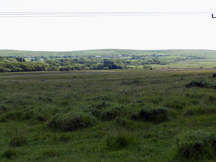
HLCA063 Walterston
Post-medieval agricultural landscape and former medieval grange: post-medieval enclosure and remnant medieval stripfields; scattered farmsteads; deserted medieval settlement; scrub and woodland; buried archaeology. Back to Map
Click here for further information about this Historic Landscape Character Area
Click here for a character area map
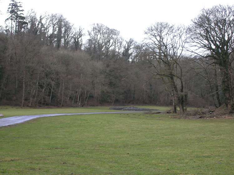
HLCA064 Parc le Breos
Post-medieval agricultural landscape and former medieval deer park: irregular evolved enclosures and dispersed post-medieval farmsteads; ancient woodland; river valley landscape; relict and buried archaeology; agri-industrial features; postulated medieval ecclesiastic/manorial centre. Back to Map
Click here for further information about this Historic Landscape Character Area
Click here for a character area map
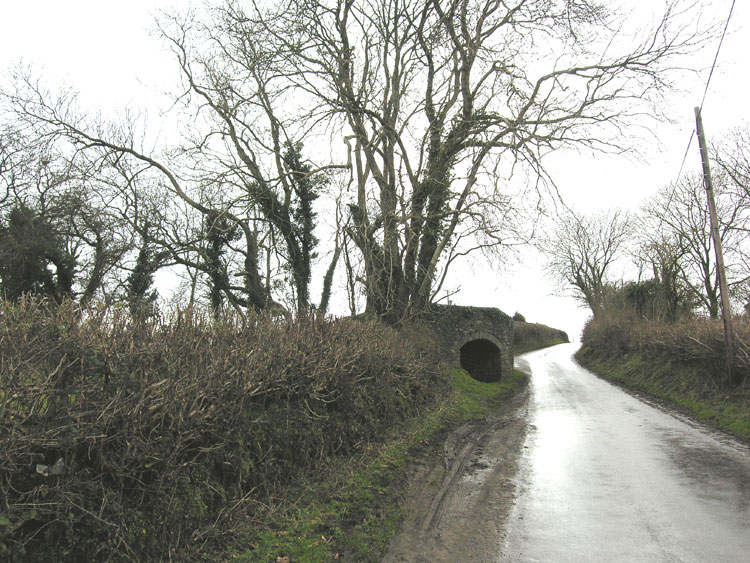
HLCA065 Lunnon
Medieval/Post-medieval agricultural and settlement landscape and former medieval grange/manorial centre over part of deer park: largely regular fieldscape; traditional boundaries; dispersed post-medieval farmsteads; relict and buried archaeology; agri-industrial features. Back to Map
Click here for further information about this Historic Landscape Character Area
Click here for a character area map
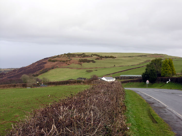
HLCA066 Cil Ifor
Prehistoric and medieval defended settlement landscape (Cil Ifor hillfort and ringwork): post-medieval agricultural enclosure; scrub and woodland; relict and buried archaeology; water features. Back to Map
Click here for further information about this Historic Landscape Character Area
Click here for a character area map
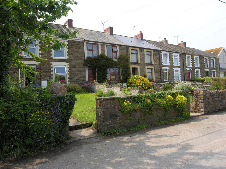
HLCA067 Llanrhidian Higher
Post-medieval/medieval agricultural, settlement and industrial landscape: varied, largely irregular fieldscape; medieval and early post-medieval encroachment; ancient woodland and small remnant commons; traditional boundaries; dispersed settlement, some with medieval precursors; relict and buried archaeology: deserted medieval settlements, ecclesiastic sites and prehistoric enclosures; industrial archaeology. Back to Map
Click here for further information about this Historic Landscape Character Area
Click here for a character area map
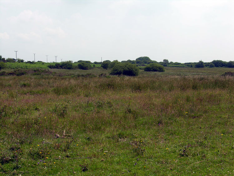
HLCA068 Mynydd-bach-y-Cocs
Unenclosed common land: exploitation of natural resources; industrial features; communication routes; and water features. Back to Map
Click here for further information about this Historic Landscape Character Area
Click here for a character area map
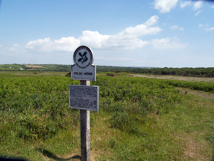
HLCA069 Welsh Moor and Forest Common
Unenclosed common land: unmanaged scrub; communication routes; and buried/relict archaeological features. Back to Map
Click here for further information about this Historic Landscape Character Area
Click here for a character area map
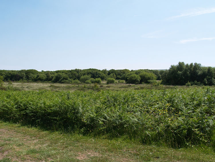
HLCA070 Cillibion
Post-medieval agricultural and woodland landscape and former medieval grange: remnant medieval fieldscape; farmsteads; post-medieval industrial features; woodland management; deserted medieval settlement; buried archaeology; and communication routes. Back to Map
Click here for further information about this Historic Landscape Character Area
Click here for a character area map
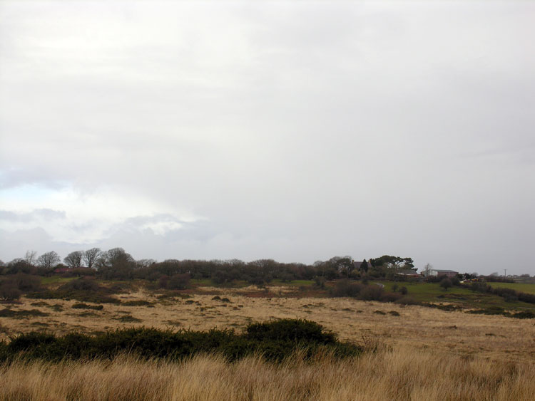
HLCA071 Pengwern Common
Unenclosed common land: unmanaged scrub; communication routes; water features; buried archaeology. Back to Map
Click here for further information about this Historic Landscape Character Area
Click here for a character area map
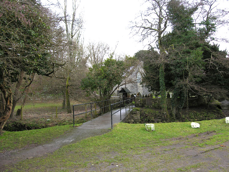
HLCA072 Ilston
Post-medieval/medieval agricultural and settlement landscape: varied fieldscape; woodland; nucleated settlement; medieval farmsteads; post-medieval industrial features; historical religious associations; and communication routes. Back to Map
Click here for further information about this Historic Landscape Character Area
Click here for a character area map
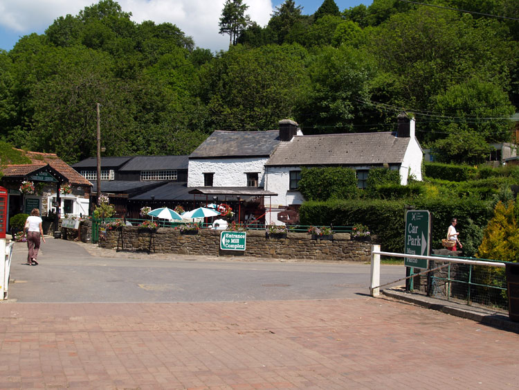
HLCA073 Ilston Valley
River valley landscape: ancient woodland; agricultural industrial landscape with medieval origins: milling; linear settlement cluster; and non-conformist chapels. Back to Map
Click here for further information about this Historic Landscape Character Area
Click here for a character area map
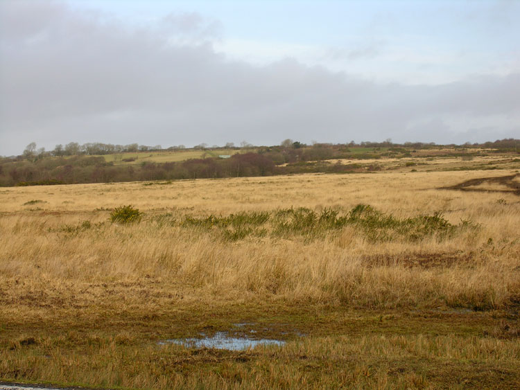
HLCA074 Fairwood Common
Unenclosed common land: WWII features; post-medieval industrial features; communication routes; and water features. Back to Map
Click here for further information about this Historic Landscape Character Area
Click here for a character area map
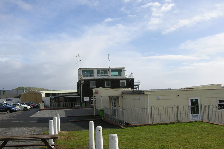
HLCA075 Swansea Airport
International airport/WWII aerodrome: WWII features; former funerary and ritual sites; and former minor communication routes. Back to Map
Click here for further information about this Historic Landscape Character Area
Click here for a character area map
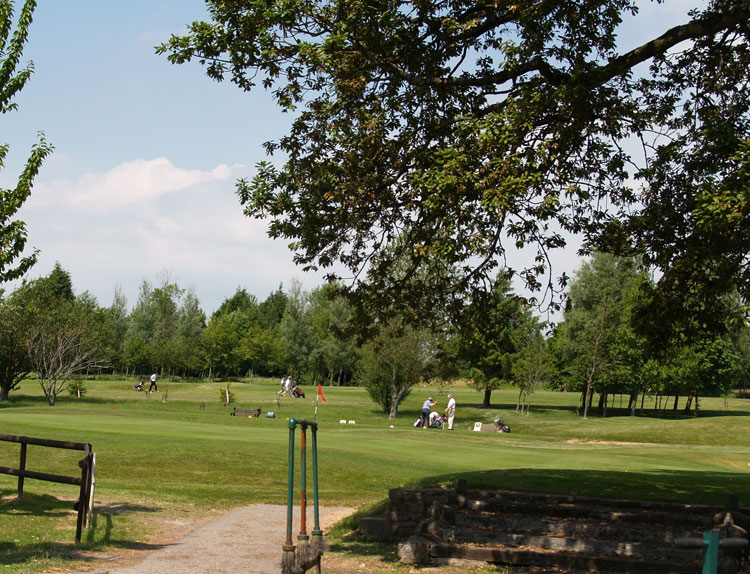
HLCA076 Fairwood Park and Golf Course
Remodelled largely designed landscape: tourism and leisure; former agricultural landscape; and woodland. Back to Map
Click here for further information about this Historic Landscape Character Area
Click here for a character area map
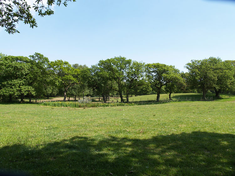
HLCA077 Hen Barc
Post-medieval agricultural and woodland landscape: varied, but generally irregular fieldscape; traditional boundaries; dispersed post-medieval settlement and related features; medieval deer park; woodland management; and industrial features. Back to Map
Click here for further information about this Historic Landscape Character Area
Click here for a character area map
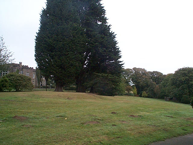
HLCA078 Clyne Castle
Post-medieval gentry estate, designed park, and woodland landscape: gentry house, and related estate buildings; gardens and ornamental woodland park; Ancient and other woodland: woodland management features; industrial remains; medieval deer park; minor relict agricultural and transport features. Back to Map
Click here for further information about this Historic Landscape Character Area
Click here for a character area map
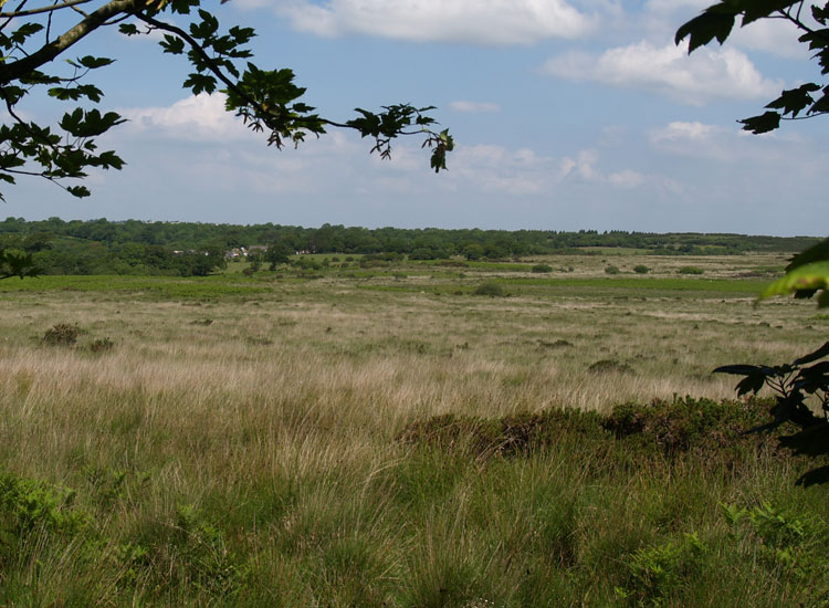
HLCA079 Clyne Common
Unenclosed common land: communication routes; leisure; water features; buried archaeology.Back to Map
Click here for further information about this Historic Landscape Character Area
Click here for a character area map
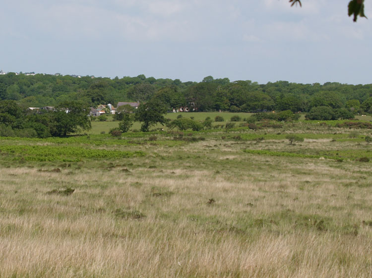
HLCA080 Wernllath
Largely Post-medieval agricultural landscape: varied, largely irregular fieldscape pattern; early post-medieval encroachment; traditional boundaries; dispersed post-medieval settlement and related features; and relict medieval features including medieval ringwork. Back to Map
Click here for further information about this Historic Landscape Character Area
Click here for a character area map
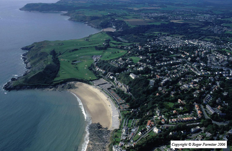
HLCA081 Langland Bay
Intertidal landscape: beach and shingle; marine exploitation; trade and transportation; and shipwrecks (off shore). Back to Map
Click here for further information about this Historic Landscape Character Area
Click here for a character area map
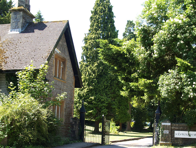
HLCA082 Kilvrough Manor
Post-medieval gentry estate, designed parkland landscape: well-preserved late eighteenth/early nineteenth century house and grounds; formal and informal gardens; folly; associated buildings; and historic associations. Back to Map
Click here for further information about this Historic Landscape Character Area
Click here for a character area map
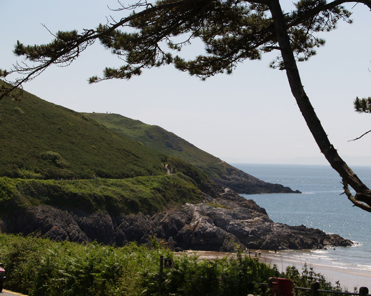
HLCA083 Newton Cliffs
Unenclosed coastal margin: findspots; and footpaths. Back to Map
Click here for further information about this Historic Landscape Character Area
Click here for a character area map
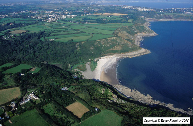
HLCA084 Bishopston Valley
River valley landscape: ancient woodland; caves; prehistoric domestic/defensive settlement; industrial features; exploitation of natural resources; communication networks; post-medieval ruined buildings. Back to Map
Click here for further information about this Historic Landscape Character Area
Click here for a character area map
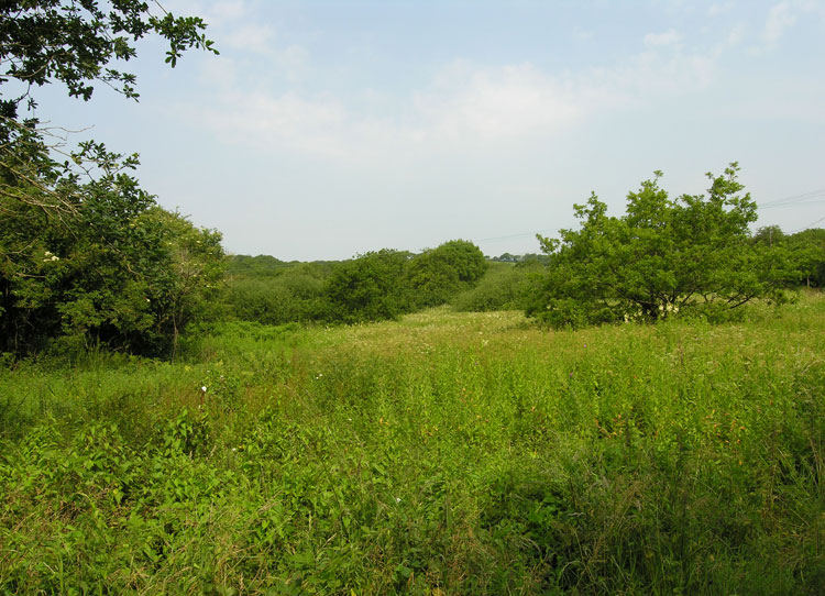
HLCA085 Barland Common
Unenclosed common land: unmanaged scrub; communication routes; water features; and buried archaeology. Back to Map
Click here for further information about this Historic Landscape Character Area
Click here for a character area map
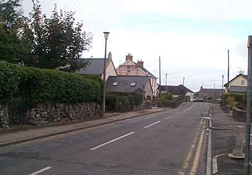
HLCA086 Bishopston
Post-medieval/medieval settlement and agricultural landscape: nucleated settlement; post-medieval vernacular buildings; varied, formerly more regular enclosed fieldscape and road network; early medieval/medieval ecclesiastic association; rural industry - extraction/processing; and buried archaeology. Back to Map
Click here for further information about this Historic Landscape Character Area
Click here for a character area map
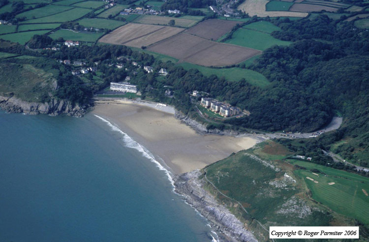
HLCA087 Caswell Bay
Intertidal landscape: beach; buried archaeology; and fishing. Back to Map
Click here for further information about this Historic Landscape Character Area