Gower
014 Tor-gro and North Hill Tor

HLCA014 Tor-gro and North Hill Tor
Coastal margin and wooded cliff top: multi-period associations; prehistoric finds; defensive settlements; agri-industrial activities; links to surrounding areas. Back to Map
Historic Background
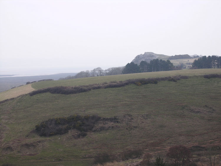
The historic landscape area of Tor-gro and North Hill Tor is a section of wooded cliff top bounded to the north by Landimore marsh and to the south by the limits of enclosed land.
The earliest archaeological evidence for this area comes from North Hill Tor cave (00067w); now destroyed through quarrying. Excavation during 1869 by Col Wood (04720w) uncovered a number of Pleistocene mammal bones (04722w) including hyena, woolly rhinoceros and cave bear along with flint tools (04721w) dating to the Upper Palaeolithic period. Other prehistoric finds include a Neolithic polished stone axe (02619w) found just near the edge of Landimore marsh.
Settlement of the area may have become more established during the Iron Age. The site of North Hill Tor camp (SAM GM062; 00093w; 305558) may have Iron Age origins given its similar location to other promontory forts along the coast. However, the RCAHMW argue that it is of medieval date. A possible hillfort (00090w) and enclosure (400400) have also been identified at the mideastern end of the area, however no further information is available. The boundaries of this character area are very narrow and therefore these settlement features should not be viewed in isolation of the surrounding agricultural and marshland, which would certainly have been exploited during this period.
This is also true for the medieval period, nearby villages of medieval date include Bovehill, Landimore, Cheriton and Llanmadoc. These areas were largely held by the Turbervilles during the twelfth century and it is suggested that their castle could have been situated at North Hill Tor Camp, although there is no record of a castle here (RCAHMW). A possible medieval midden (00094w) is also located on North Hill Tor consisting of cockleshells only.
Although stone from this area may have provided a valuable resource over a number of periods, surviving archaeology relating to quarrying and lime processing dates from the post-medieval period. Most of the surviving remains are visible at the easternmost outcrop above Bovehill. Limestone quarried here was shipped out to the estuary via Bennets Pill (02575w). The production of lime for agricultural fertiliser is typical of many parts of Gower; this greatly increased during the agricultural revolutions of the eighteenth and nineteenth centuries. A number of building located in the general area of the limekilns are depicted on 1st Edition OS map and may have been associated with this industrial activity and include cottages. These cottages would have been occupied by labourers involved in agriculture, lime production and inshore fishing among other activities. One of the cottages known as 'The Brandy house', built c.1780 is reputed to have been used by smugglers (Edmunds 1979).