Gower
012 Llanmadoc Hill
HLCA012 Llanmadoc Hill
Unenclosed common land: prehistoric funerary and ritual landscape; major defended enclosure; water related features. Back to Map
Historic Background
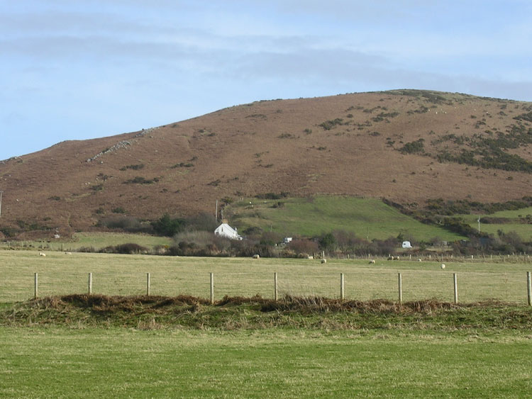
The historic landscape area of Llanmadoc Hill covers the extent of unenclosed common land to the south of Llanmadoc and north of Llangennith known as Llanmadoc Hill, including Tankeylake Moor.
Llanmadoc Hill is an area of raised ground reaching a maximum height of 186m OD with a central ridge orientated northeast-southwest. It is reported that four Neolithic stone axe-hammers have been found in the area (00039w) as well as a fragment of a Roman vase (00045w), however, the wealth of evidence comes from the Bronze Age. At one time 19 cairns were known along the ridge of the hill, 14 still survive, though regrettably many are in a damaged state. It is thought that these were part of a dispersed Bronze Age cemetery located within a wider Bronze Age landscape and similar monuments can be found on Rhossili Down as well as other elevated land in Gower; it may be that these upland areas were held as 'sacred mountains'. Excavations during the late nineteenth century revealed some sherds of pottery (00057w), representing a number of funerary urns, however, many of the cairns had been badly robbed prior to this date.
Llanmadoc Hill remained an important focal point during the Iron Age as testified by the large multivallate hillfort known as The Bulwark (00029w; 301327; SAM GM061) situated at the eastern end of the ridge. The earthworks represent multi-phase construction and development of the site. The ramparts consist of earthen banks up to 3m in height with accompanying ditches but with no obvious sign of any stone revetment. A sub-rectangular enclosure is present in the southeast corner, subsequently cut by a later low bank and ditch. A causeway and entrance are located on the eastern slope.
During the Medieval and Post-Medieval periods the open common land was used for rough grazing, evidence of activity is found in the form of a midden (00046w) at Llanmadoc Burrows containing fragments of medieval pottery and cakes of beeswax. Encroachment of the Gower commons took place from the sixteenth century onwards, however, enclosure around Llanmadoc Hill seems to have been only minor constituting individual fields rather than large swathes of land. The area continues to be used for grazing.