Gower
017 Ryer's Down

HLCA017 Ryer's Down
Unenclosed common land: relict medieval/post-medieval settlement and agricultural features; water supply features; communication network. Back to Map
Historic Background
The historic landscape area of Ryer's Down is delineated by the extent of unenclosed common land east of Llanmadoc Hill and north of Burry Green.
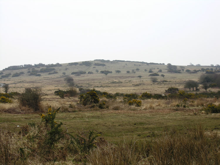
Ryer's Down is an area of raised ground reaching a maximum height of 114m OD. The eastern edge is steep-sided forming the western side of the Burry river valley. From the summit the Down slopes gently in all other directions to agricultural fieldscape.
Unlike other downs in western Gower, Ryer's is unusual in that little archaeology has been recorded and even more so in the fact that no prehistoric funerary or ritual monuments have been identified. A few features on the common may be prehistoric in date but further survey and fieldwork is needed to confirm this. A circular platform (04584w) built up with an earth and stone bank around the edges is situated on the break of slope to the east of the summit. However, this area sits between two higher areas of common: Llanmadoc Hill and Cefn Bryn and below the dominant feature of the Bulwarks, this may explain the lack of prehistoric sites.
Medieval activity may be represented by rectangular enclosures, thought to be long houses (02590w, 02862w), however, such features can have a wide date range and therefore could be post-medieval. These houses were built to accommodate both the farmers and their cattle, the room often being divided by a cross passage formed by two opposing doorways. The first record of one in Wales comes from a description of a building in "The Dream of Rhonabwy", part of "Y Mabinogi", in the 13th century. The most common explanation for their rise in the thirteenth century was that this was a time of economic growth for the peasantry combined with a general climatic downturn, this increased the number of cattle that therefore had to be wintered indoors, both to protect the animals and to preserve the fields from being chewed up. The early examples were often substantially built with heavy timber cruck trusses holding up the roofs, explaining the thickness of the walls. It was typical for them to be sited on a slope, with one end dug into the slope, the animals being kept in the down slope section of the building to ease in the disposal of the manure. Nothing is known of the internal arrangement of these early houses but it is assumed that there was an open fireplace, with shuttered opposing windows and the family sleeping on a low platform. It is thought that distinctive regional house plans began to occur in the late sixteenth century. A common example of northwest and southeast Wales had the cross passage two-thirds of the way along, with the fireplace at the upper end against the gable wall. Another example common in Glamorgan had a chimney sited next to the entrance with a second stack on the gable wall. These long houses would therefore appear to satisfy general criteria for a wide age range. The apparent wide walls would seem to suggest an earlier date although the plan is also typical of examples known from the sixteenth century onwards (Poucher 2002/3).
The area was possibly used for livestock management during the post-medieval period, banks and ditches (02863w, 02865w), which may relate to the potential long house remains, are recorded. These features may represent post-medieval agricultural activities on the down. Quarrying certainly took place during this period if not before, this is visible in a number of earthworks located just west of the summit (02589w). The age of the quarry is not known for definite but a survey of Gower Anglicana in 1583 states "Touching mynes, quarries, etc., we know none, upon any of the Lord's lands, other than such as we shall lay downe in our booke, saving that upon Rosilly downe, keven brynne, and Ryers downe certaine stones, whereof mill stones are and have beene made".