Gower
024 Thistleboon Fieldscape

HLCA024 Thistleboon Fieldscape
Post-medieval/ medieval agricultural landscape: prehistoric finds; leisure and tourism. Back to Map
Historic Background
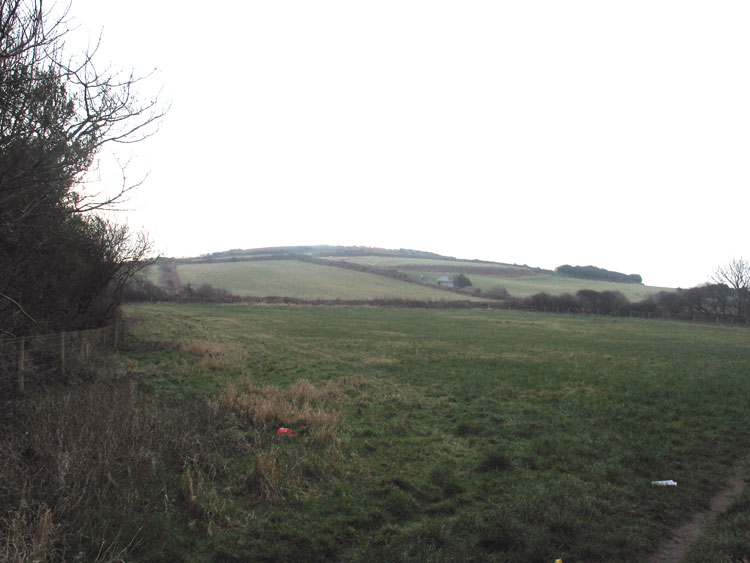
The historic landscape area of Thistleboon Fieldscape represents the last remnants of agricultural land near the settlement of Thistleboon, Mumbles. The boundary follows the extent of the AONB area around surviving fieldscape at Thistleboon adjacent to the cliff top.
A few prehistoric finds have been made in the area including blades and flakes of Mesolithic date (00896w) and a Neolithic polished chert axe (03189w). One Roman object was also found.
This area was once part of a wider medieval agricultural landscape of clustered settlements, scattered farmsteads and open strip field system integrated with open access to the common land nearby along the cliff tops, Mumbles Hill and possibly Clyne Common. In the post-medieval period nearby settlements at Mumbles and Newton increased in size and fields were amalgamated to larger enclosures, however, remains of medieval strip fields are still dominant on the first Edition OS map.
Thistleboon Farm on the edge of Mumbles by 1879 was situated just northeast of this area and on the periphery of the area to the east were Lewinhill Farm, Marepool Cottages and Planch. In the early nineteenth century the land belonged to various people including the Duke of Beaufort, T Penrice, J. H. Vivian Esq and J. T. Nicholl among others; depicted on a map of 1829. Information from this map shows that the remnant medieval strip fields belonged to different owners and were therefore still held as sharelands at this time. Development of the surrounding areas of Thistleboon, Mumbles, Langland, Newton and Oystermouth has been extensive in the latter half of the twentieth century. However, the field system in this area has remained intact and unchanged from the 1st Edition map apart from the removal of a few field boundaries of boundaries. It is interesting to note that the allotments to the east of the area still follow the boundaries of the earlier strip field system. The area is now used as recreational space and tourism including a cricket ground and chalets.