Gower
057 Penmaen

HLCA057 Penmaen
Largely post-medieval agricultural landscape and manorial centre: ribbon development and scattered farmsteads; medieval ecclesiastical sites; agri-industrial features; and scrub and woodland. Back to Map
Historic Background
The historic landscape area of Penmaen represents the agricultural landscape of the former parish of Penmaen excluding the detached manor of Paviland or Parc le Breos.
There is currently no archaeological evidence recorded for this area before the medieval period. However, adjacent areas of Cefn Bryn (HLCA 038) and Penmaen Burrows (HLCA 058) display a number of sites dating to the prehistoric period.
This area originally fell within the Welsh medieval Cwmwd of Gwyr, a subdivision of the Cantref of Eginog. During the reorganisation of the post-medieval period the area formed part of the parish of Penmaen (along with part of areas HLCA 058 and 064) in the Hundred of Swansea, within the County of Glamorgan. Penmaen is listed as being an 'old knights fief' from at least the thirteenth century. The early beginnings of Penmaen are unclear and much confusion resides over its original location. Suggested by Toft (1989) to be located on the outskirts of Parc le Breos at Church Hill, the 'vill of Penmaen' is referred to in a thirteenth century land notification. The presence of a church on the burrows and the reference to two vills in the fee of Penmaen; Worlang and Penmaen in a fourteenth century document (Toft 1989) makes the matter more complex. Seyler (1920) argues that the present village of Penmaen was the location of the vill Worlang, full name Stedworlango. Therefore it could be said that the original settlement was moved from Church Hill to the burrows to ensure security of the parkland of Parc le Breos (Toft 1989), after sand inundated the burrow settlement from the fourteenth century, the main settlement became that of Stedworlango later to become known as Penmaen. However, this is still conjecture and further research into the subject is needed. Consideration should probably be given to the derivation of the name Penmaen (Head of the rocks), as this seems to fit with a coastal location.
The church (00294w) at the present village of Penmaen is dedicated to St. John the Baptist and is thought to have been built in the fourteenth century when the church on the burrows was abandoned. Most of the original fabric of the church was removed during reconstruction between 1854-55, during this work a tombstone dating to 1623 was discovered under the altar detailing family connections of the area with the David or Davies family descendants of Iustin ap Gwrgan former Lord of Glamorgan in the eleventh century (Orrin 1979), Glebe land associated with the church is mentioned from the seventeenth century at least.
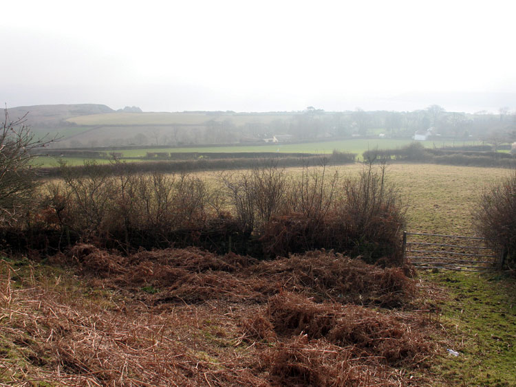
From the seventeenth century, if not before, Penmaen Manor was held by the Mansel family (Morris ed 2000); land that was leased out as sharelands from the medieval period began to be consolidated from this period onwards. The tithe map of 1844 shows little remnants of a strip field system and today's fieldscape largely represents that of the tithe map albeit with the further removal of a few field boundaries. Areas of woodland and scrub still remain. Settlement of the area was limited until the twentieth century. Clusters of cottages around the cross roads and farms dotted along the main roads and the edge of the common are all that were present in the mid-nineteenth century, the vicinity of the church is notably vacant on the tithe map. Farms dating to this period and those with early precursors are Northill Farm, Penmaen farmhouse (LB 23549 II), Hillside, Cefn-bryn Cottage (02718w; 18268) and Penmaen House (02719w; 19655) among others. The village expanded little until the latter quarter of the twentieth century apart from the addition of a school and Gower Union workhouse (96318); the latter built in 1860. The first edition OS map also features a number of quarries and limekilns. From 1974 ribbon development took place along the main east-west routes and the edge of the common land at Cefn Bryn. More recent development has taken place south of this at Stonefield near the site of an old quarry. A caravan park is now located in the Northill area.