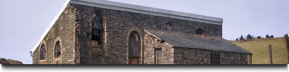
Southeast Wales Industrial Ironworks Landscapes
RESULTS
Year 5 and 6
The Southeast Wales Industrial Ironworks Landscapes Project was concerned with identifying, quantifying, mapping and describing industrial landscapes and features associated with the coke-fired ironworks of the Heads of the Valleys area. This project allowed the survival and condition of the resource to be assessed, potential threats and levels of protection were established, and a series of recommendations for management and further protection were made. The project was spread over six years between 2004 and 2010.
Year 5 (2008-09) of the project was limited to a reduced study area of the Upper Sirhowy, Ebbw and Ebbw Fach valleys and the watershed to the north of the Sirhowy Valley around Trefil. Year 6 (2009-10) of the project was confined to the Cynon Valley between Hirwaun and Aberaman, and the limestone area of Penderyn to the north of Hirwaun, and the Eastern Valley, south of the Blaenavon World Heritage site. The work comprised a more detailed study of extractive and water management features within selected areas, considered to indicate high levels of survival or potential survival on the basis of previous years work. This year's project included targeted field survey to identify, map and describe the resource in more detail and allow an assessment of condition and significance. A review of levels of protection and threats was also undertaken, and recommendations made.
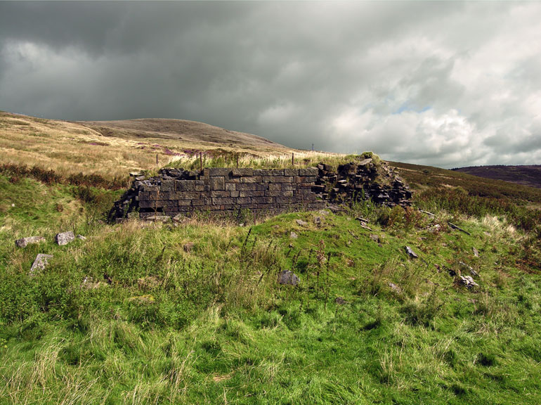
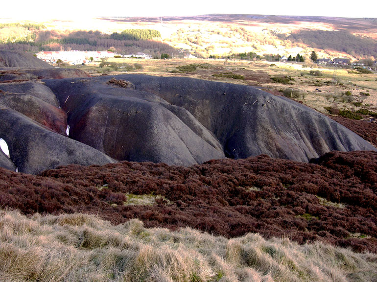
Nineteen areas (i.e.42 sub-areas) were visited during Year 5 with 149 major extraction features/groups of extraction features identified, described and assessed. Of the 78 water management features described, 57 were newly identified features. Major highlights of the study included the well-preserved extractive landscapes north of Brynmawr and at Twyn Blaen-nant, which retain remains of workers' huts and evidence of patch working, early opencast trenching and hushing and scouring.
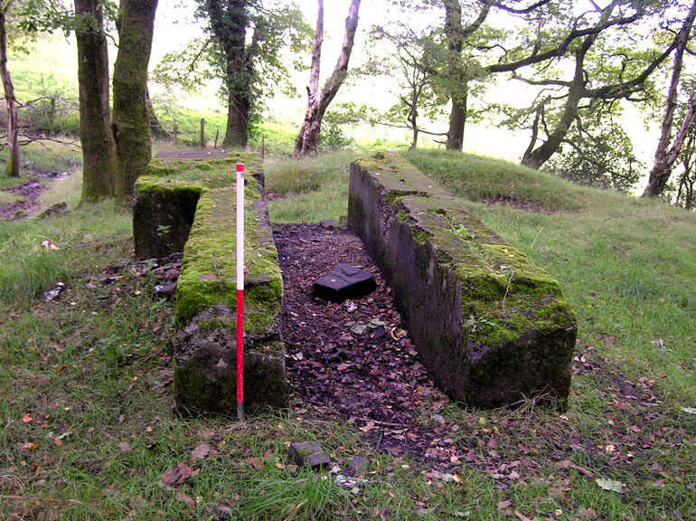
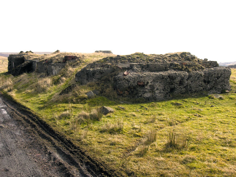
Twenty-one areas (62 sub-areas) were visited during Year 6 taking in 642 extraction related sites, 622 of which were further described and assessed. The study identified 53 HER and 141 NMR sites in area. During the study 36 water management features were visited and assessed, 18 water management features were newly identified, whilst the records of 54 others (Eastern Valley area) were augmented. Highlights of the year's study include the impressive and well-preserved Penderyn-foel limestone quarries, Hirwaun, and the remains of the main feeder channels associated with the Hirwaun and Llwydcoed ironworks.
The Year 5 and 6 reports are provided as Pdf documents, respectively in one, and two downloadable sections: