Water Management features & Extraction areas
Year 3 and 4
The Southeast Wales Industrial Ironworks Landscapes Project was concerned with identifying, quantifying, mapping and describing industrial landscapes and features associated with the coke-fired ironworks of the Heads of the Valleys area. This project allowed the survival and condition of the resource to be assessed, potential threats and levels of protection were established, and a series of recommendations for management and further protection were made. The project was spread over six years between 2004 and 2010.
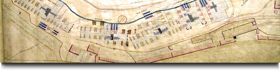
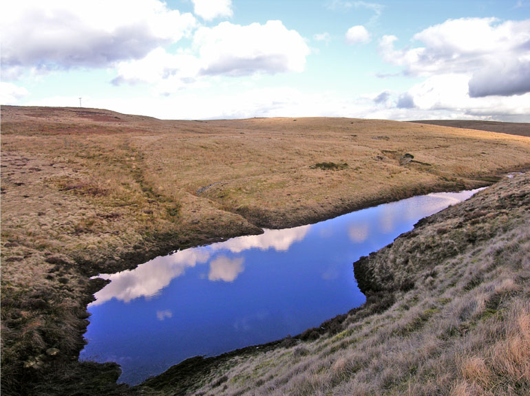
Year 3 (2006-07) of the project largely comprised a mapping exercise to identify and quantify the survival and potential survival of individual water management features and wider water management systems on a valley-by valley basis. The Year 3 study identified some 601 water management features, including 563 newly identified sites. A maximum of 64 water management HER sites were examined during the study.
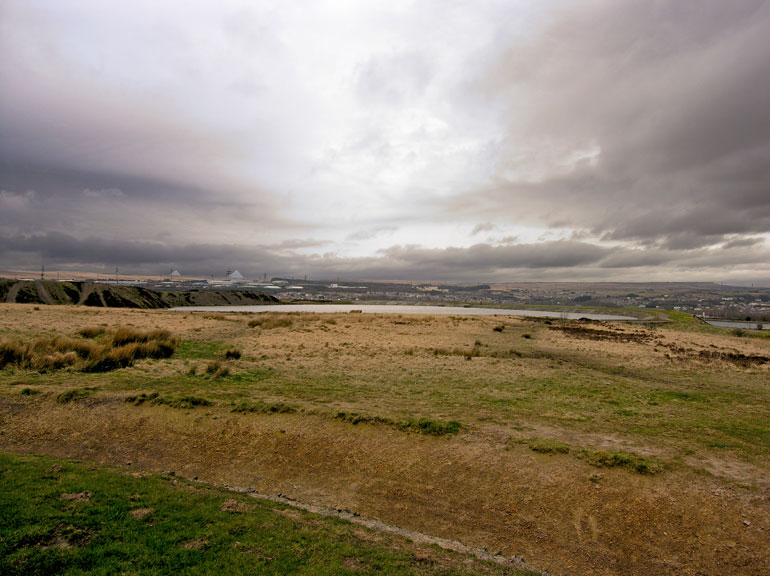
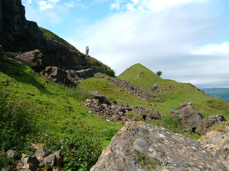
Year 4 (2007-08) of the project was similarly a mapping exercise to identify and quantify the survival and potential survival of individual extractive areas and wider extractive landscapes on a valley-by-valley basis. The Year 4 study identified 156 extractive areas (119 of which were considered to be ironworks related), and 66 individual extractive features. Of 351 extractive sites examined on the HER, 124 were found to be ironworks related.
The Year 3 and 4 reports are provided as Pdf documents, respectively in six and two downloadable sections: