Transport Network
Year 2
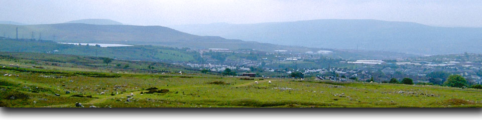
The Southeast Wales Industrial Ironworks Landscapes Project was concerned with identifying, quantifying, mapping and describing industrial landscapes and features associated with the coke-fired ironworks of the Heads of the Valleys area. This project allowed the survival and condition of the resource to be assessed, potential threats and levels of protection were established, and a series of recommendations for management and further protection were made. The project was spread over six years between 2004 and 2010.
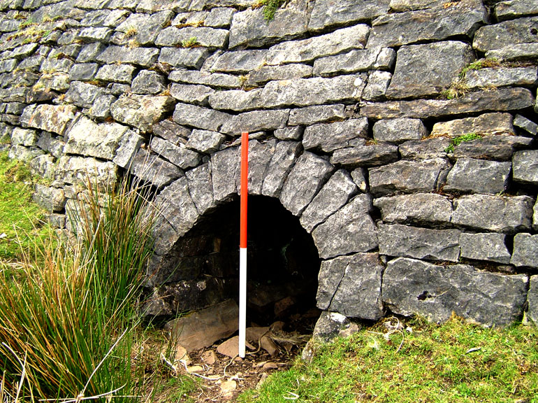
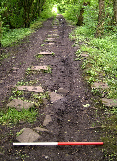
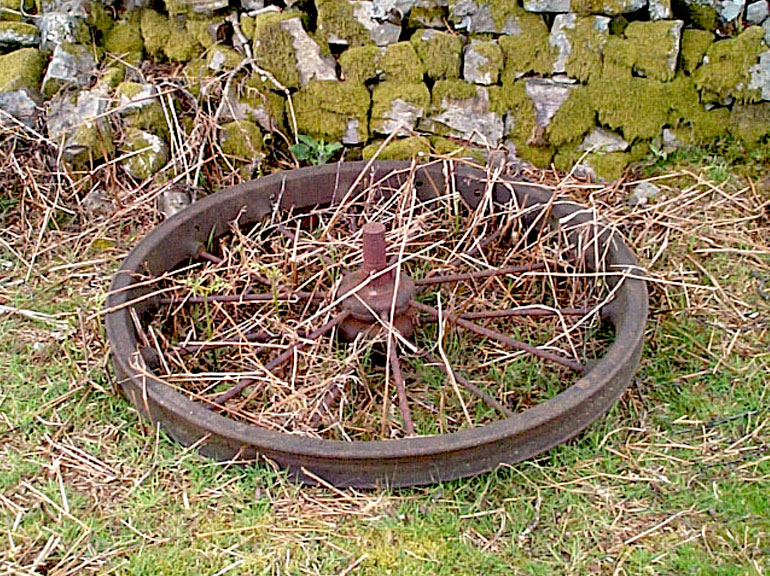
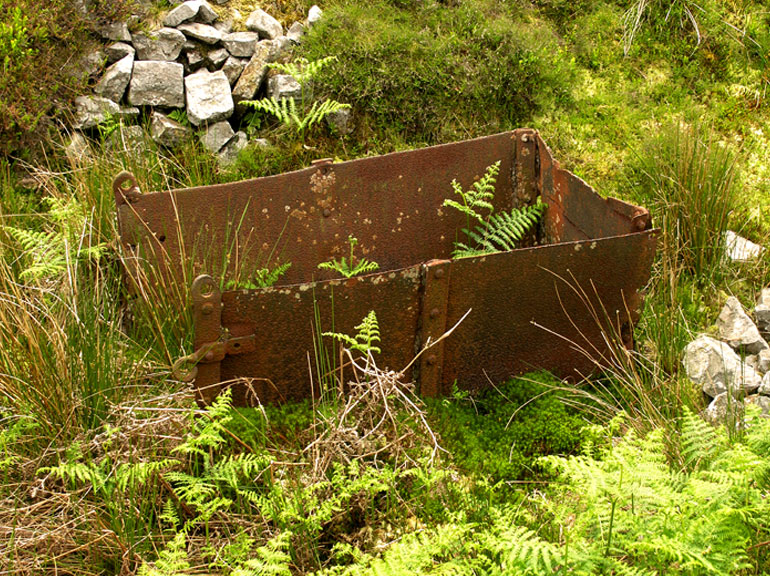
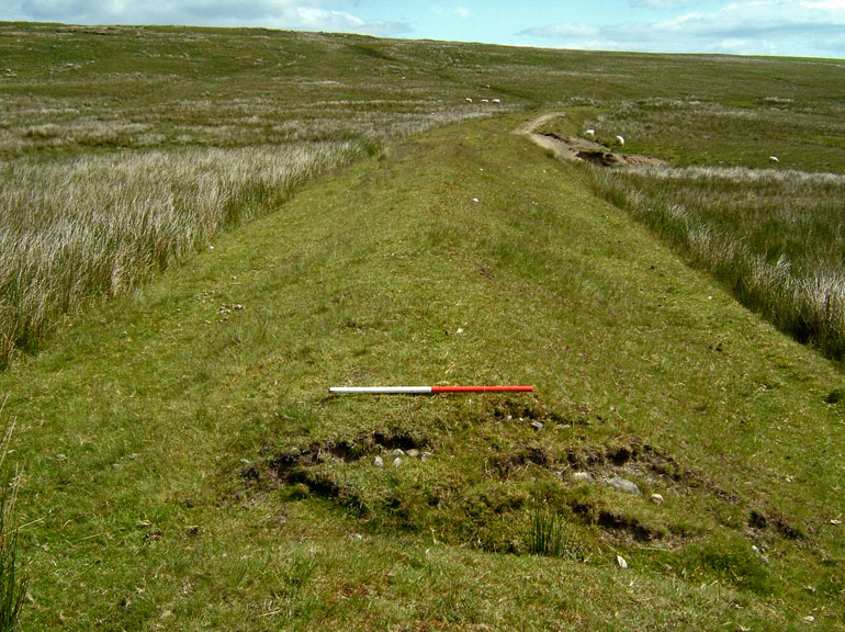
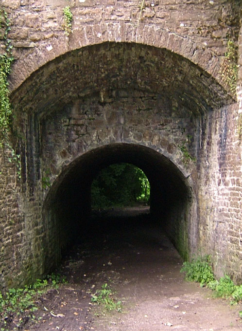
Year 2 (2005-06) of the project was concerned with the transport networks associated with the ironworks. The year two study was dominated by fieldwork, and investigated the survival of remains along the transport routes, recording condition and assessing overall archaeological significance or potential on a network-by-network basis. The study identified a minimum of 25 tramroad networks (15 of which were newly identified), broken down into various sub-sections (e.g. 44 transport networks and branches). In the region of 219 additional sites were identified and up to 59 HER sites were augmented.
The Year 2 report is provided as a pdf document in three downloadable sections