Merthyr Mawr, Kenfig and Margam Burrows
008 Kenfig Golf Course

HLCA 008 Kenfig Golf Course
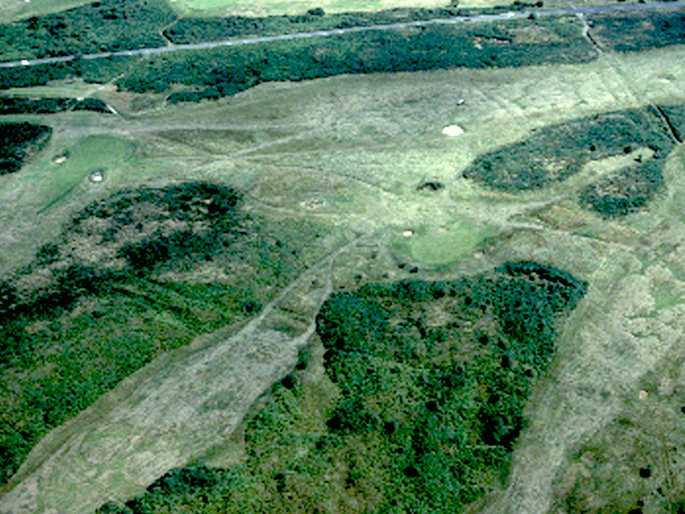
Open area of stabilised sand dunes; recreational use - managed and in use as golf course; buried archaeology; communications. Back to Map
Historic Background
The historic landscape area of Kenfig Golf Course is an area of formerly unenclosed sand dune, stabilised from at least the mid 19th century, if not earlier. A number of small natural water sources, ponds and wells, such as Ffynnon y Mer, are located along the southern and eastern boundaries of the area close to post-medieval agricultural settlement. Prominent features of the area are numerous tracks and roads, well established by the post-medieval period some these probably have earlier origins. Although little is known of the archaeology of the area itself, find scatters from the adjacent areas to the south and west suggest some level of occupation during the prehistoric and Roman periods.
The area forms the southeast part of Kenfig Burrows and is currently used by the Pyle and Kenfig Golf Course, its clubhouse located just outside the area to the southeast.
Historic Landscape Characteristics
Kenfig Golf Course is characterised as an area of stabilised sand dune, which is currently managed and in use as golf course, and appears to have been used as common grazing land in the past. Similar to the area to the west, HLCA 021 Kenfig Burrows/Twyni Cynffig, the main historical characteristic is considered to be that of a be-sanded landscape dominated by buried archaeology. Communications, ie footpaths, tracks and straight lanes, also form a prominent historic theme in the character area.