
Marine
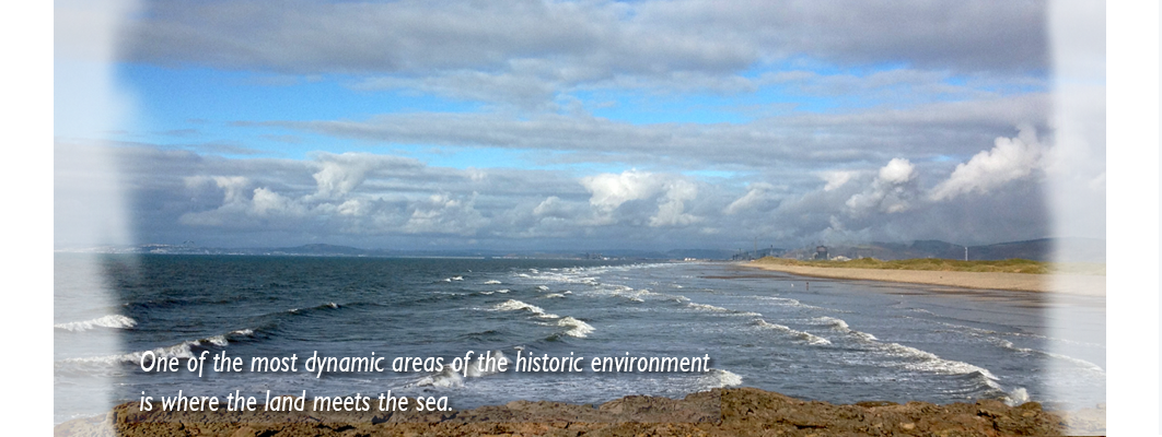
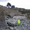
One of the most dynamic areas of the historic environment is where the land meets the sea. The waves are continually bringing in and taking away deposits exposing ancient land surfaces in the intertidal zone and new sections through monuments on the cliffs. Between 2010 and 2015 GGAT carried out a project, funded with grant-aid from Cadw, to recruit volunteers through the Arfordir Project to help us monitor and record the ever-changing coastline and ensure that new information reaches the Historic Environment Record.
Local authorities and environmental bodies such as Natural Resources Wales are responsible for drawing up management plans for the coastline at a strategic level. The Trust provides them with recommendations to ensure that the historic environment is properly protected, and is taken into account when new sea defences are designed. We also provide advice to ensure that people using the coastline for recreation and other purposes do not inadvertently damage the archaeology.