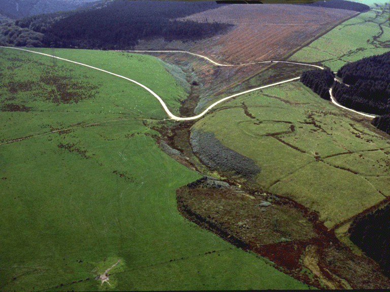
Margam Mountain
014 Moel Ton Mawr

HLCA 014 Moel Ton Mawr
20th century forestry plantation on former open unenclosed mountain; similar to HLCA 010; relict archaeology: funerary and ritual; communication features; accumulation of blanket peat with environmental potential. Back to Map
Historic Background
The historic landscape area of Moel Ton Mawr comprises a small, detached area of 20th century plantation, formerly part of the extensive open mountain pasture of Mynydd Margam and once similar in character to HLCA 013. The area was formerly part of the property of the Cistercian Abbey of Margam and later part of the Margam Estate during the post-medieval period.
Historic Landscape Characteristics
Moel Ton Mawr is characterised as 20th century forestry plantation on former open unenclosed mountain, similar to HLCA010. Although disparate, features typical of the wider upland landscape are retained within the area's coniferous forest; these are primarily relict in the form of a single known funerary and ritual feature, a Bronze Age cairn (PRN 00755w), and an intrenchment (PRN 03883w), or holloway, similar to those in HLCA 013 and HLCA 015, the remains of former upland trackways. It should be noted that the area contains peat deposits with the potential for environmental and other indicators relating to the Bronze Age and earlier landscapes; however, afforestation may have impacted on the quality of the surviving record.