The Historic Landscape Character Areas (HLCAs)
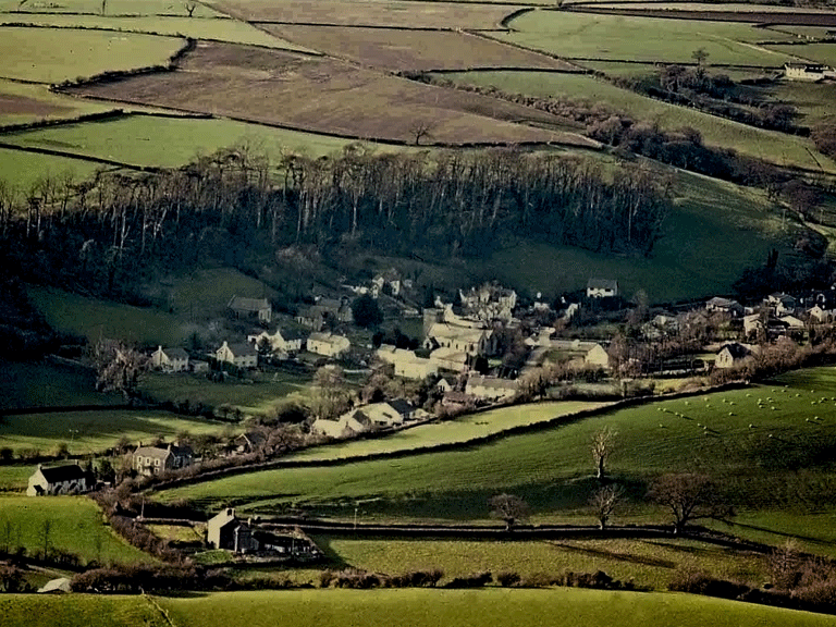
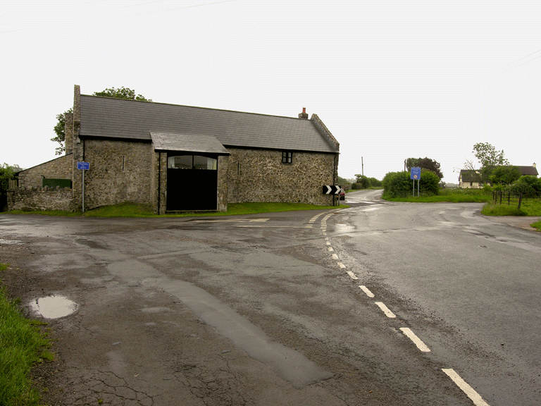
HLCA 001 Llancarfan
Nucleated post-medieval settlement (of medieval origin); medieval/post-medieval buildings; traditional boundaries; Ancient and other broadleaf woodland; evolved/irregular field pattern; relict and buried archaeology; agri-industrial features; communication; ecclesiastical features; historic association. Back to Map
Click here for further information about this Historic Landscape Character Area
Click here for a character area map
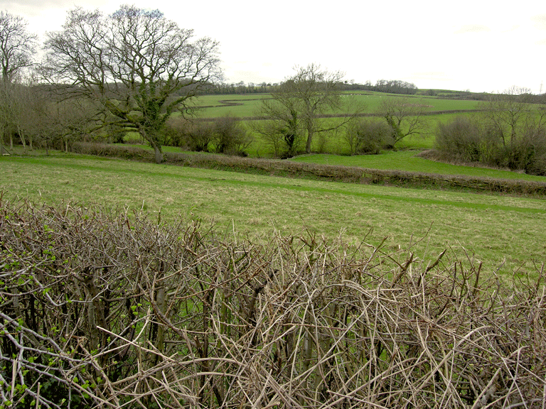
HLCA 002 Lower Llancarfan Valley
Medieval/post-medieval field system; post-medieval settlement: clustered and loose dispersed scatter; post-medieval buildings; relict and buried prehistoric and medieval settlement; ecclesiastical and historic associations; water sources; relict agri-industrial features; traditional boundaries; minor communication.Back to map
Click here for further information about this Historic Landscape Character Area
Click here for character area map
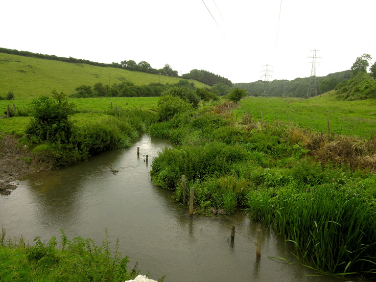
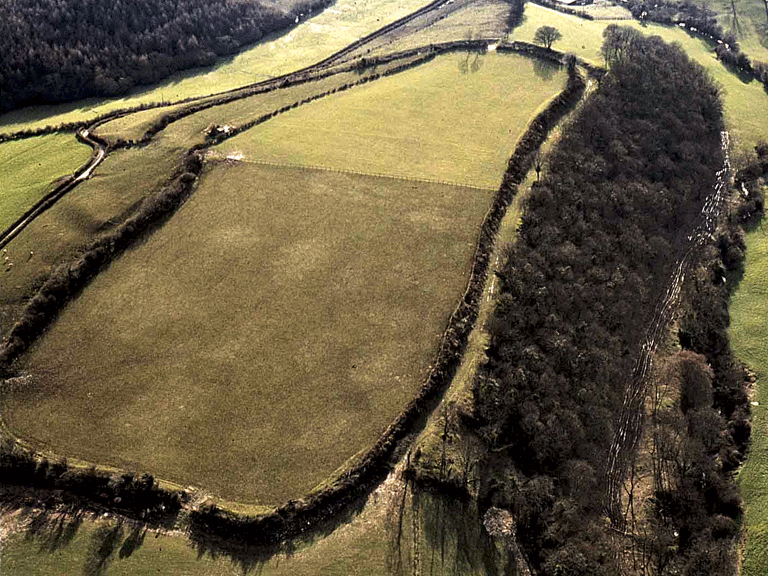
HLCA 003 Kenson River Valley
Medieval/post medieval meadow land; water supply; Ancient and other broadleaf woodland; drainage ditches; relict agricultural and settlement features; communication links.Back to map
Click here for further information about this Historic Landscape Character Area
Click here for character area map
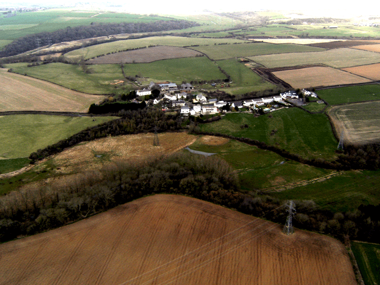
HLCA 004 Llancadle
Post-medieval settlement: clustered (later ribbon development); post-medieval buildings; relict and buried medieval settlement and agricultural features; ecclesiastical associations.Back to map
Click here for further information about this Historic Landscape Character Area
Click here for character area map
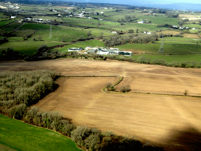
HLCA 005 Crosstown and Llancadle (East) Agricultural Plateau
Medieval/post-medieval agricultural landscape; dispersed medieval/post medieval settlement; Medieval/post-medieval buildings; buried prehistoric archaeology; communication.Back to map
Click here for further information about this Historic Landscape Character Area
Click here for character area map
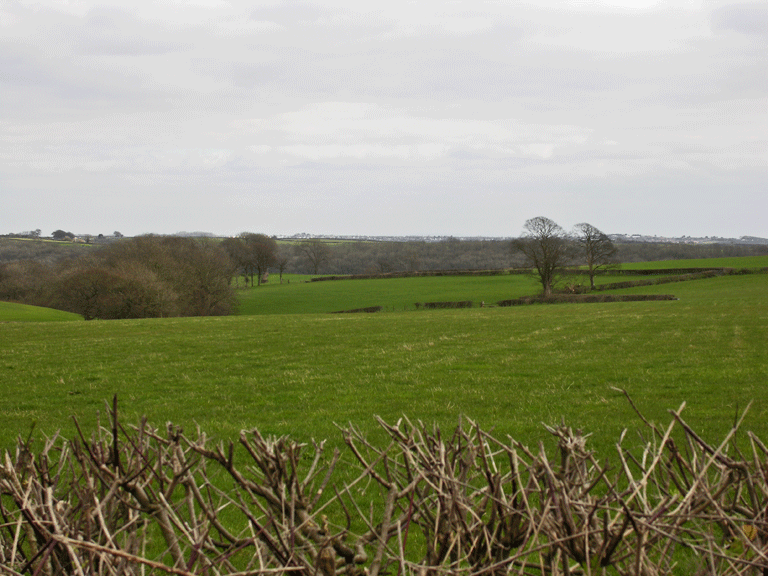
HLCA 006 Llanvithyn and Llancarfan Agricultural Plateau
Amalgamated medieval/post medieval field; relict and buried medieval and prehistoric archaeology; dispersed settlement; ecclesiastical associations; communications; agri-industrial features.Back to map
Click here for further information about this Historic Landscape Character Area
Click here for character area map
HLCA 007 Middlehill Agricultural Area
Medieval/post medieval field system; dispersed settlement; agri-industrial features.Back to map
Click here for further information about this Historic Landscape Character Area
Click here for character area map
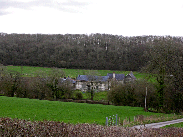
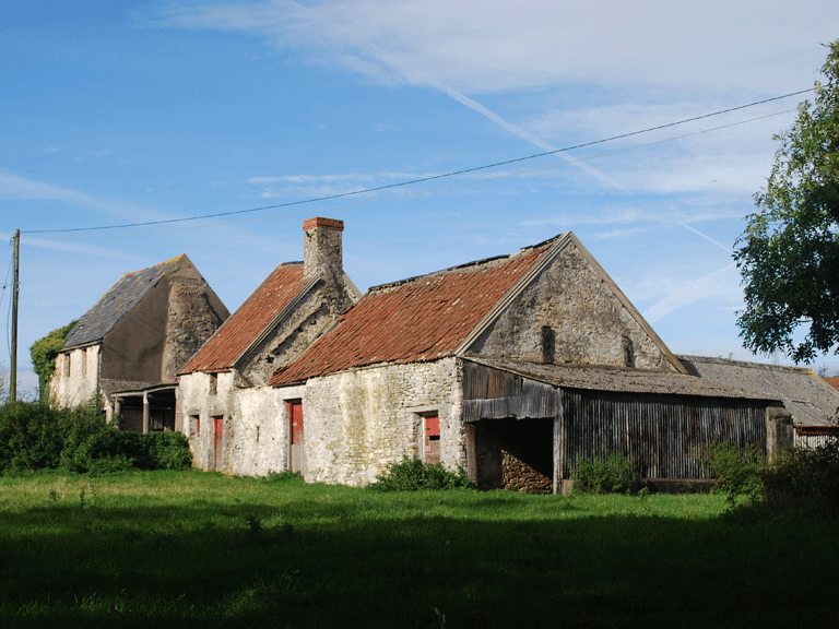
HLCA 008 Middle Llancarfan Valley: Llanvithyn and Garnllwyd
Medieval/post medieval field system (evolved/irregular fieldscape); traditional boundaries; dispersed post-medieval settlement; post-medieval/medieval buildings; relict and buried archaeology; agri-industrial features; Ancient and other broadleafed woodland; medieval ecclesiastic characteristic; historic association; communication; resources.Back to map
Click here for further information about this Historic Landscape Character Area
Click here for character area map
HLCA 009 Greendown
Ecclesiastical and historic associations; medieval/post medieval field system; traditional boundaries; agri-industrial features.Back to map
Click here for further information about this Historic Landscape Character Area
Click here for character area map
HLCA 010 Bonvilston Amalgamated Fieldscape
Amalgamated fieldscape: medieval/post medieval field system; traditional boundaries; agri-industrial features.Back to map
Click here for further information about this Historic Landscape Character Area
Click here for character area map
HLCA 011 Liege Castle
Medieval/post medieval field system (mixed fieldscape); traditional boundaries; relict and buried archaeology; dispersed post-medieval settlements (remnants of clustered/nucleated shrunken medieval settlements); agri-industrial features; ecclesiastic features; historic associations; communication.Back to map
Click here for further information about this Historic Landscape Character Area
Click here for character area map
HLCA 012 Ty'n-y-coed
Medieval/post medieval field system; traditional boundaries; isolated settlement; relict prehistoric archaeology; agri-industrial features.Back to map
Click here for further information about this Historic Landscape Character Area