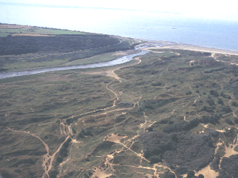
Merthyr Mawr, Kenfig and Margam Burrows
013 Merthyr Mawr Warren

HLCA 013 Merthyr Mawr Warren
Nationally important unenclosed be-sanded landscape; multi-period and multi-functional landscape; post-medieval rabbit warren. Back to Map
Historic Background
The historic landscape area of Merthyr Mawr Warren is a landscape area of some historical importance, reflected in its partial status as a Scheduled Ancient Monument (SAM Gm 432), based on a concentration of archaeological features and finds revealed from time to time from beneath the shifting sands. The area, a national nature reserve and SSSI, is the location of the deserted medieval village and Manor of Candleston, the majority of which was abandoned following sand incursion by the early post-medieval period. During the post-medieval period the land was acquired by the Merthyr Mawr Estate.
Historic Landscape Characteristics
Merthyr Mawr Warren is characterised as an unenclosed be-sanded landscape, the majority of which is a Scheduled Ancient Monument. The character of the area is as a multi-period and multi-functional buried landscape: comprising buried prehistoric, medieval and post-medieval deserted settlement/fields (eg cultivation ridges, settlements at Pwll-y-defaid and near Candleston, and site of Coniger or Warren House, medieval manor house), and prehistoric funerary and ritual landscape. Buried finds of all periods have been recovered from the area. Other characteristic site types include prehistoric to post-medieval 'industrial' features (eg Iron Age bloomery and post-medieval corn mill), post-medieval rabbit warren, post-medieval and modern military/defensive structures and a firing range. In addition a small stretch of medieval road is partly exposed from the sand.