A programme of excavation and survey at Oystermouth Castle in June and July 2009 was undertaken by a partnership led by the Glamorgan-Gwent Archaeological Trust and involving the Friends of Oystermouth Castle, Swansea City Council and Swansea University. A topographic survey carried out by total station on the south side of the castle has provided a high-resolution record of the earthworks in this area, showing The Knoll, a natural outcrop outside the castle gateway that may have been utilised as a barbican, and the Castle Green. The excavations located the line of the outer wall of the west tower, which proved to take the form of a rectilinear foundation, and the castle ditch. South of the ditch, the bedrock on The Knoll proved to lie close to the surface, and no medieval structures or deposits were noted in the two trenches dug in this area.
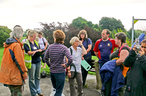
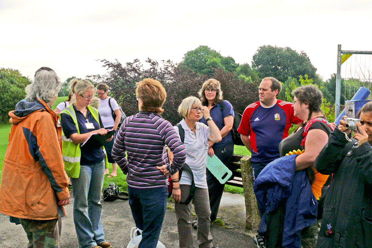
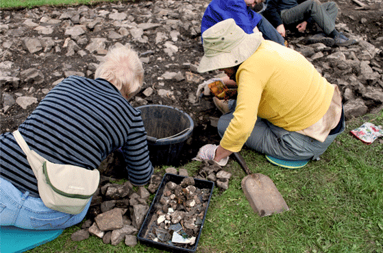
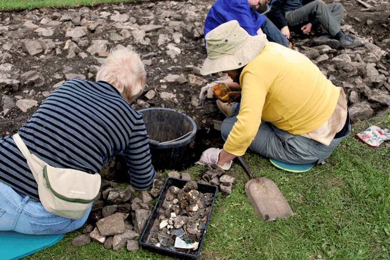
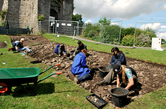
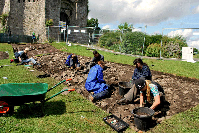
The project gave the opportunity to members of the local community, school students and university students to experience archaeological fieldwork. It also provided an enriched visitor experience of the castle for the duration of the excavation. Feedback indicates that these aspect of the project were very successful.
After analysis of the results of the geophysical survey, it was decided that there were three areas in particular where excavation would be particularly useful:
- The area to the south of the western tower wall of the gatehouse (the Knoll),where it was felt that excavation could help to resolve the question of the construction status of the tower, and ascertain whether the ditch that appears to be shown in the geophysical survey can be located. It was also hoped to clarify the possible wall, and possible area of structural debris noted further south.
- North of the castle, where it would clarify the origin of the earthworks presumed by RCAHMW to be the defences of the outer bailey, but identified as a possible quarry by Davies.
- The Castle Tump ridge, where the geophysical survey produced evidence for possible archaeological features on its northern and southern summits.
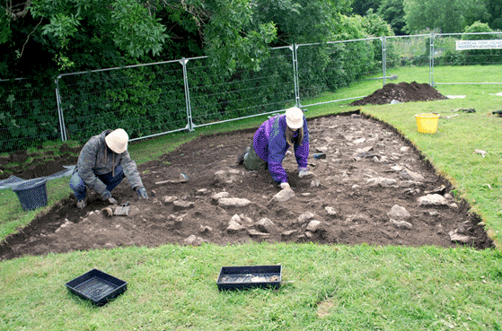
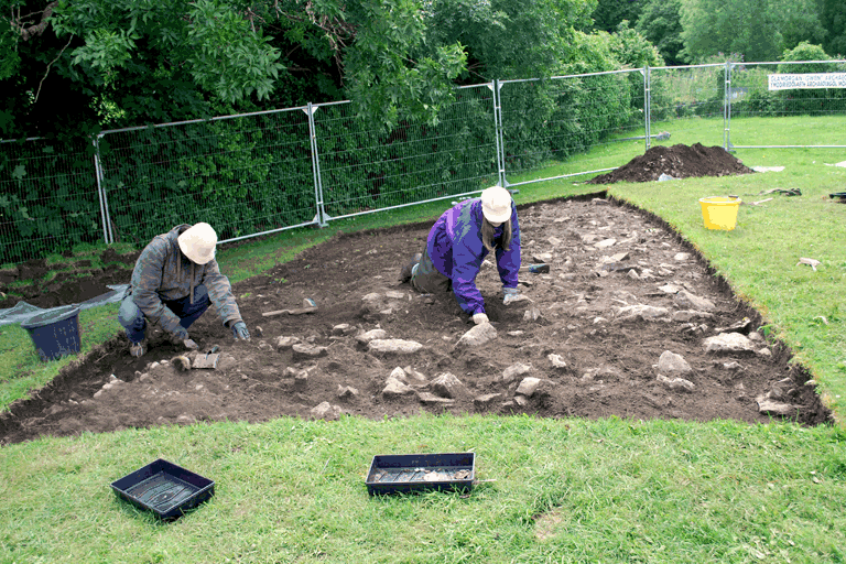
However, because the castle surroundings are a public place, the council required that all excavation over 0.15m in depth should be enclosed within security fences. For this reason it was decided that excavation should concentrate on a single area, to minimise cost and disruption. The easiest area to fence was the Knoll and where there was the most certain prospect of positive archaeological results and therefore of public engagement. Accordingly, three trenches, one (Trench 1) measuring 4m by 20m and the other two measuring 4m x 10m, were opened in the area of the Knoll.
Within Trench 1 was located the line of the outer wall of the west tower, which proved to take the form of a rectilinear foundation, and the castle ditch. This ditch proved to be extremely massive; a sondage near the presumed line of its southern edge picked up the rising bedock in this position, but a sondage further north was still within the upper fills when it had to be halted due to safety considrations. South of the ditch, the bedrock on The Knoll proved to lie close to the surface. Trench 2 had no medieval structures or deposits. Most of Trench 3 was similar, but the eastern end was not fully excavated in the time available.
In addition a topographic survey by total station was undertaken as a schools work experience programme on the south side of the castle. This provided a high-resolution record of the earthworks in this area, showing The Knoll, a natural outcrop outside the castle gateway that may have been utilised as a barbican, and the Castle Green.
