Historic Landscape
Characterisation
The Rhondda
034 Rhondda Fawr: Enclosed Valley Sides
(Mynydd Penygraig)
HLCA 034 Rhondda Fawr
Largely relict medieval/post-medieval agricultural landscape, similar
to HLCA 029, possibly with medieval origins; distinctive field boundaries;
minor industrial extraction features.
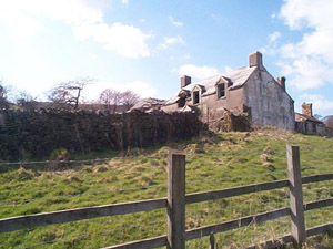
The historic landscape area of Rhondda Fawr: Enclosed Valley Sides (Mynydd Penygraig) is a detached extension of HLCA 029 Rhondda Fawr: Enclosed Valley Sides and HLCA 033 Rhondda Fawr: Enclosed Valley Sides (Cwm Lan - Nant-y-Gwiddon). Small and medium sized irregular fields contained by frequently disused field boundaries, both hedged and dry stone, typify the area. Apart from agriculture, minor industrial land use is indicated, primarily old coal levels, quarries and airshafts to underground workings, depicted on the 2nd edition 6" OS map of 1900.
A small amount of modern forestation has occurred within the bounds of the HLCA; Coedcae field names testify to the formerly more extensively wooded nature of the area. Few archaeological registers are recorded for the area apart from the post-medieval farm of Penygraig, which is a possible longhouse and the post-medieval holding of Gelli-Faelog.
