Historic Landscape
Characterisation
Merthyr Tydfil
067 Pencoedcae and Brynteg
HLCA 67 Pencoedcae and Brynteg Mixed industrial/agricultural lands cape: open interface between agricultural, industrial and settlement; industrial transport corridor; water management/power generation; industrial extractive landscape associated with Cyfarthfa Ironworks.
Summary
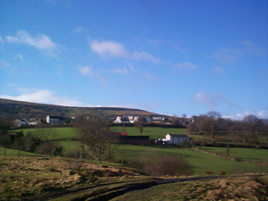
A mixed landscape of agricultural enclosures and industrial features, in which water management features are prominent. It preserves an open interface between agriculture, industry and settlement, formerly characteristic of the wider area. The area also contains transport features.
Historical background
The historic landscape area of Pencoedcae and Brynteg comprises an area of agricultural enclosures on the edge of the expanded settlement of Heolgerrig, which are interspersed with early industrial features. The area preserves the open interface between agricultural, industrial and settlement, formerly more characteristic of the wider area. The area contains numerous industrial extractive features, part of the more extensive system of Cyfarthfa Mines, primarily iron ore levels, but also a mineshaft, and quarry. A major influence on the character of the area is the Mynydd Aberdare - Cyfarthfa Tramroad, a scheduled section (SAM Gm 495) of which lies within the area. This feature is depicted on Surveyor's drawings of 1814 and 1826 and shown in more detail on the 6-inch OS maps of 1875-1915, apparently under rail throughout the period. Another dominant feature is the nearby reservoir (also scheduled), in place by 1826, which operated a water balance system at No. 2 pit (Pen-yr-heolgerrig), this was part of a more extensive system of drainage features, which supplied the Cyfarthfa Mines on the eastern flank of Mynydd Aberdare.
